FIRE ISLAND POINT to POINT: Run

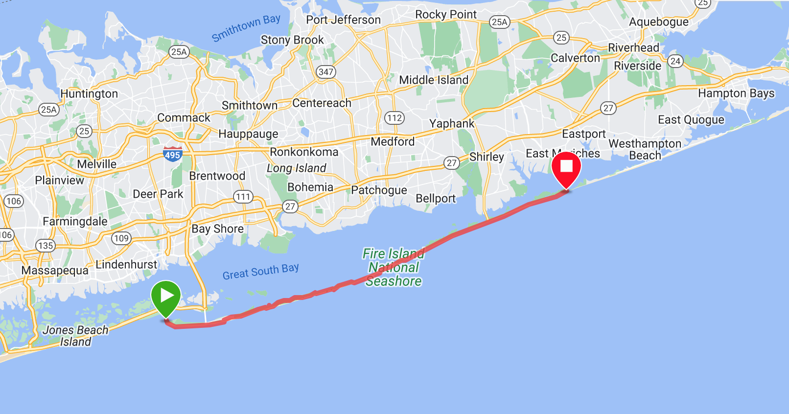
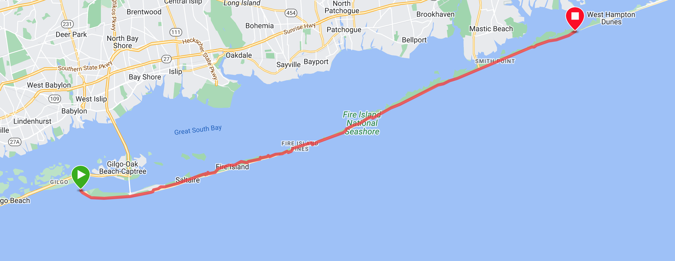
Fire Island Inlet to Moriches Inlet, Long Island NY: West to East
On June, 25th 2023 John Troha threw down a mammoth run from Fire Island Inlet to Moriches Inlet on Long Island, NY. This run marks the first Point to Point logged on foot of the 2023 season, and the second ultra marathon run in Dawgpatch history. Read the first hand details of this epic shoreline run in the Trip Report found below, provided by challenge completer John Troha.
Date of Completion: 06/25/2023
Mode of Travel: Running
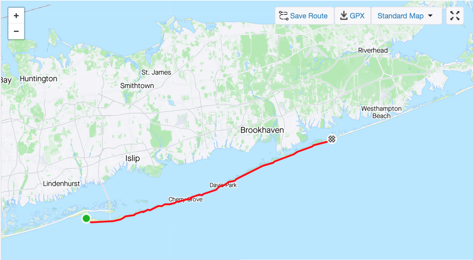
Distance: 33.51 miles (54k)
Total Elapsed Time: 6:57:05
Level of Support: Supported (Shuttle to start point at Fire Island Inlet, 2 pacers for last ~10k, Boat pickup at Moriches Inlet)
Trip Report:
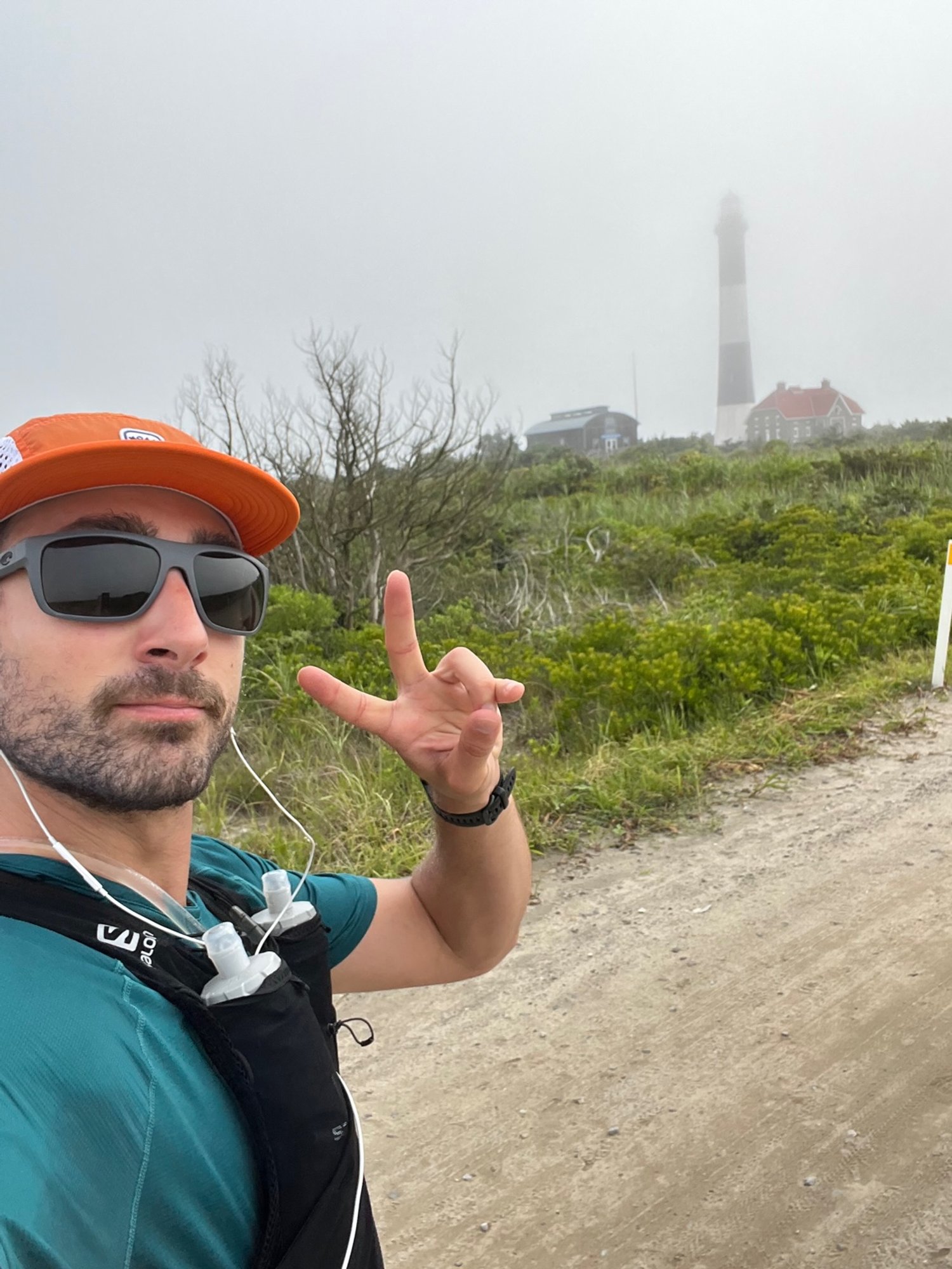
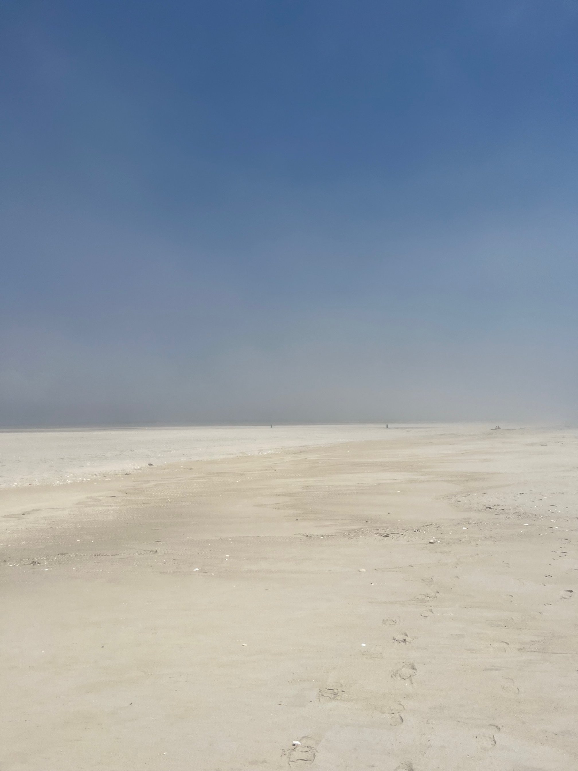
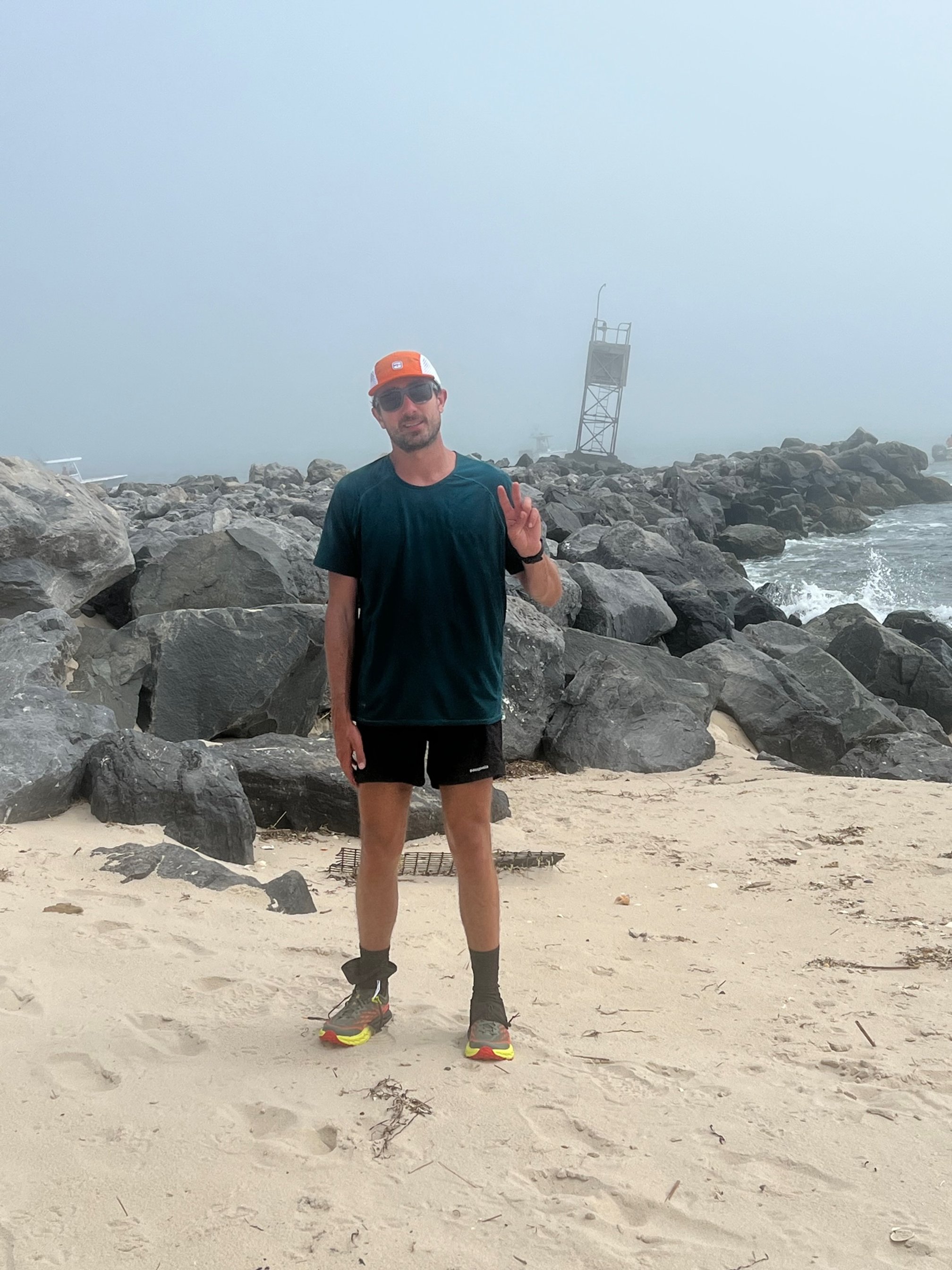
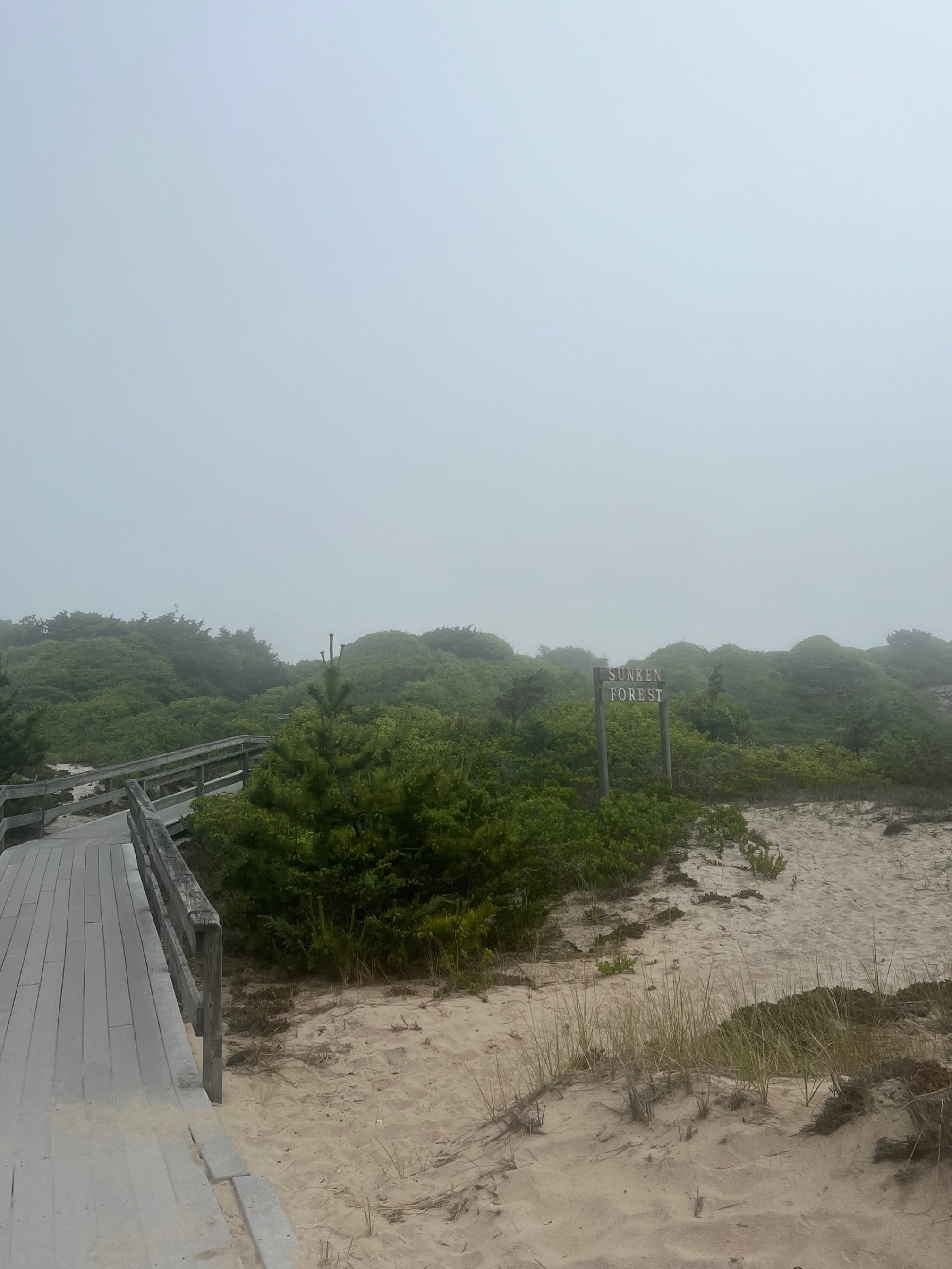
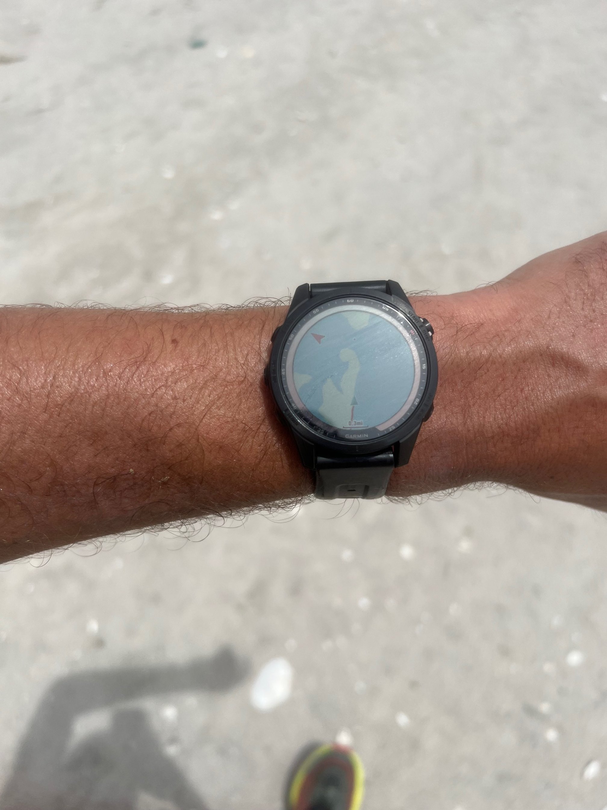
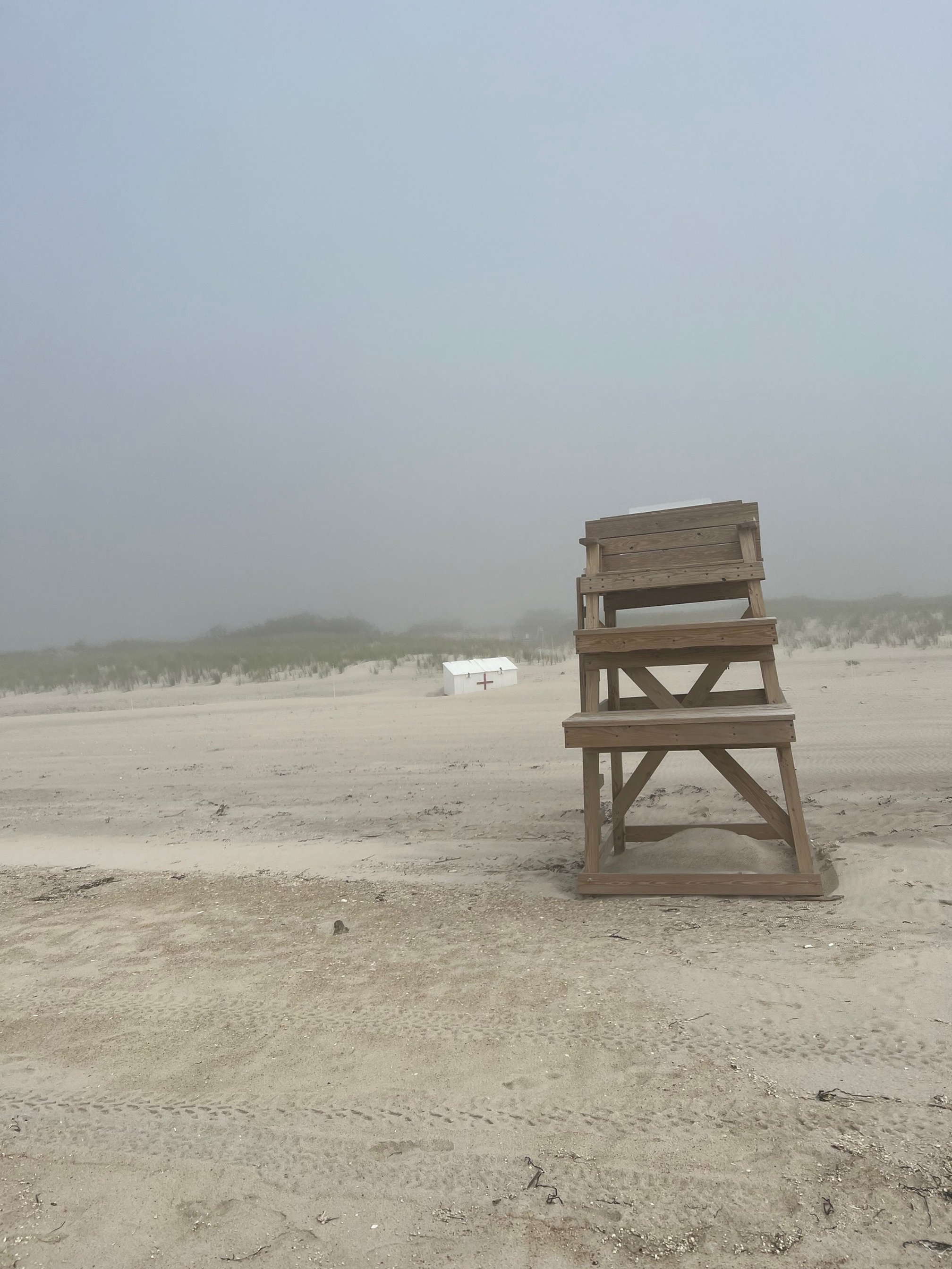
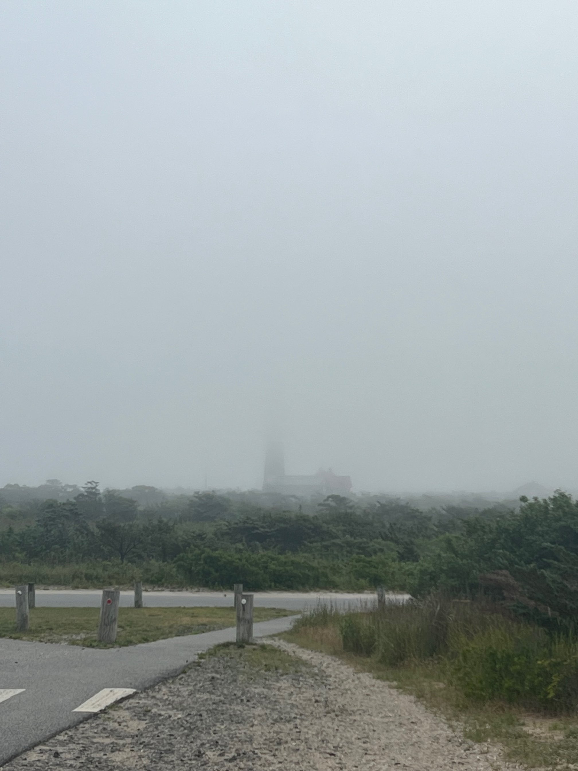
Started at Demo’s (Fire Island Inlet) around 7:45 AM in some heavy fog. Pretty cool atmosphere. Fog held for a decent portion of the day, lifting here and there to let some sun and blue skies through. Temps were decent, but it was very humid. Super pleasant miles through all the communities. Took the scenic route through the Sunken Forest at Sailors Haven. Stopped briefly at Watch Hill to top off fluids at the water tap and cool off in the shower by the bathrooms. Otis Pike Wilderness area from the east end of Watch Hill to Ho-Hum was super desolate and a bit of a slog, had my friends KJ and Matt meet me for a can of coca-cola and another water top off closer to the Ho-Hum side. Great to see some familiar faces in the water and on the beach at Ho-Hum. The soft sand from Old Inlet through Smith’s Point was not very fun at high tide. Bonked a bit here, but felt a little boost around Great Gun with the inlet in sight (not literally - the fog rolled back obscuring any view of the jetty at Moriches Inlet, but had a sense of where I was from my watch). Was picked up by boat on the bay side near the inlet.
This route is very aesthetic and has been a goal of mine for quite a while - I ended up getting the fastest known time on the route as well. Great day out in a truly amazing place!
Additional Notes:
How did you get across Old Inlet?
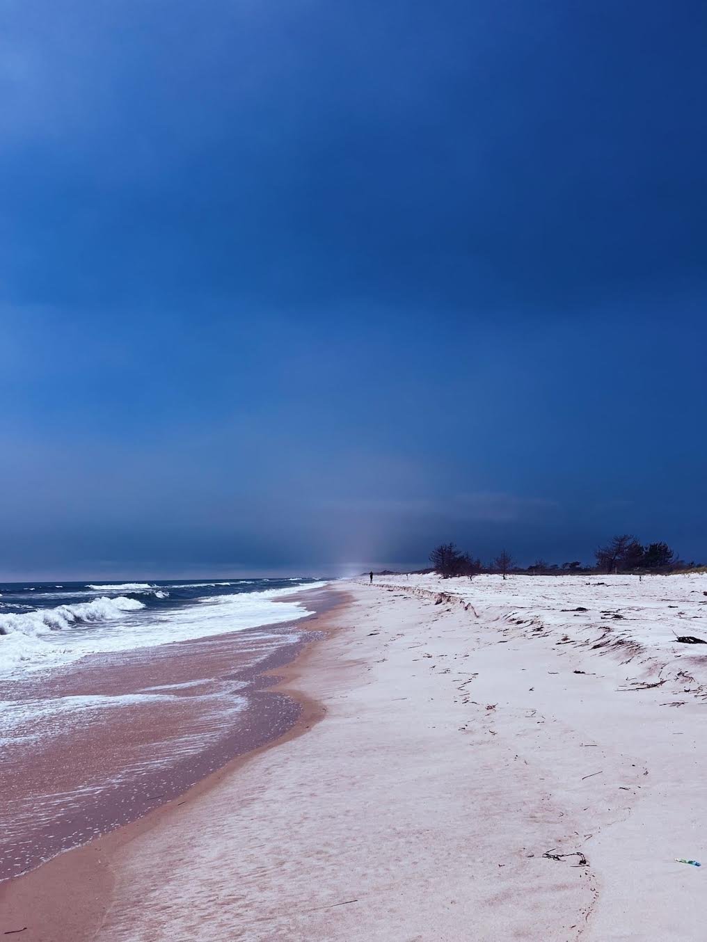
Old Inlet is actually pretty much dry now (At least where I crossed ocean side - I didn't check bay side) so I just ran right across. I was out there a couple years ago and you would have had to get wet for sure. - John Troha

Photo of “Old Inlet” captured by John Troha
Would you call this a mixed terrain route?
The route I took I would totally call mixed terrain - I ran the first 4.5 miles from the inlet on the beach to the lighthouse, then picked up the gravel road to Kismet. From there I took the 'Middle Route' on whatever boardwalk or path was there (Mix of wooden boardwalk / concrete walkway / packed sand connectors between communities). There's another 2.2 mile stretch of beach from The Pines to Davis Park before you pick up another boardwalk to Watch Hill. From there, it's all sand all the way! In total I'd say it was right about 20 miles of pure sand/shore line. - John Troha