Bikepack Across New Brunswick, Canada
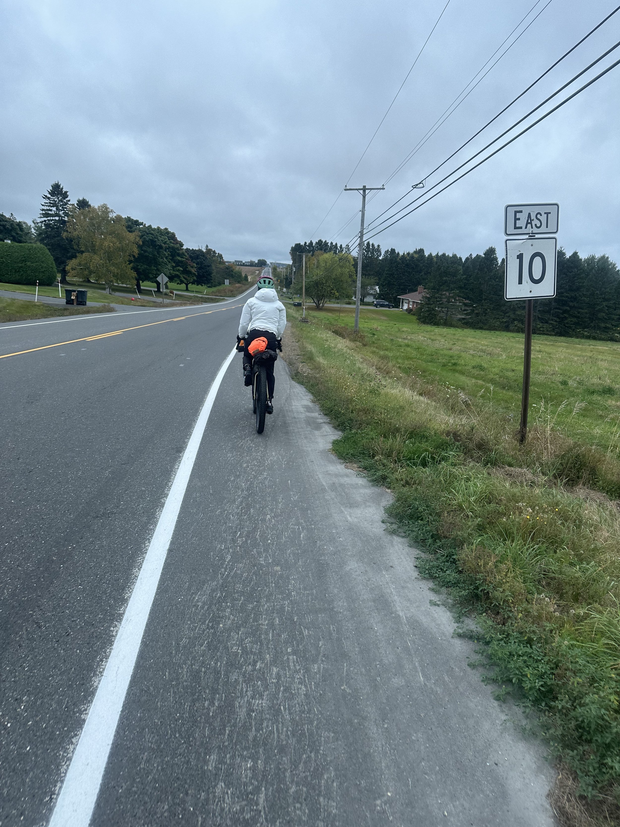
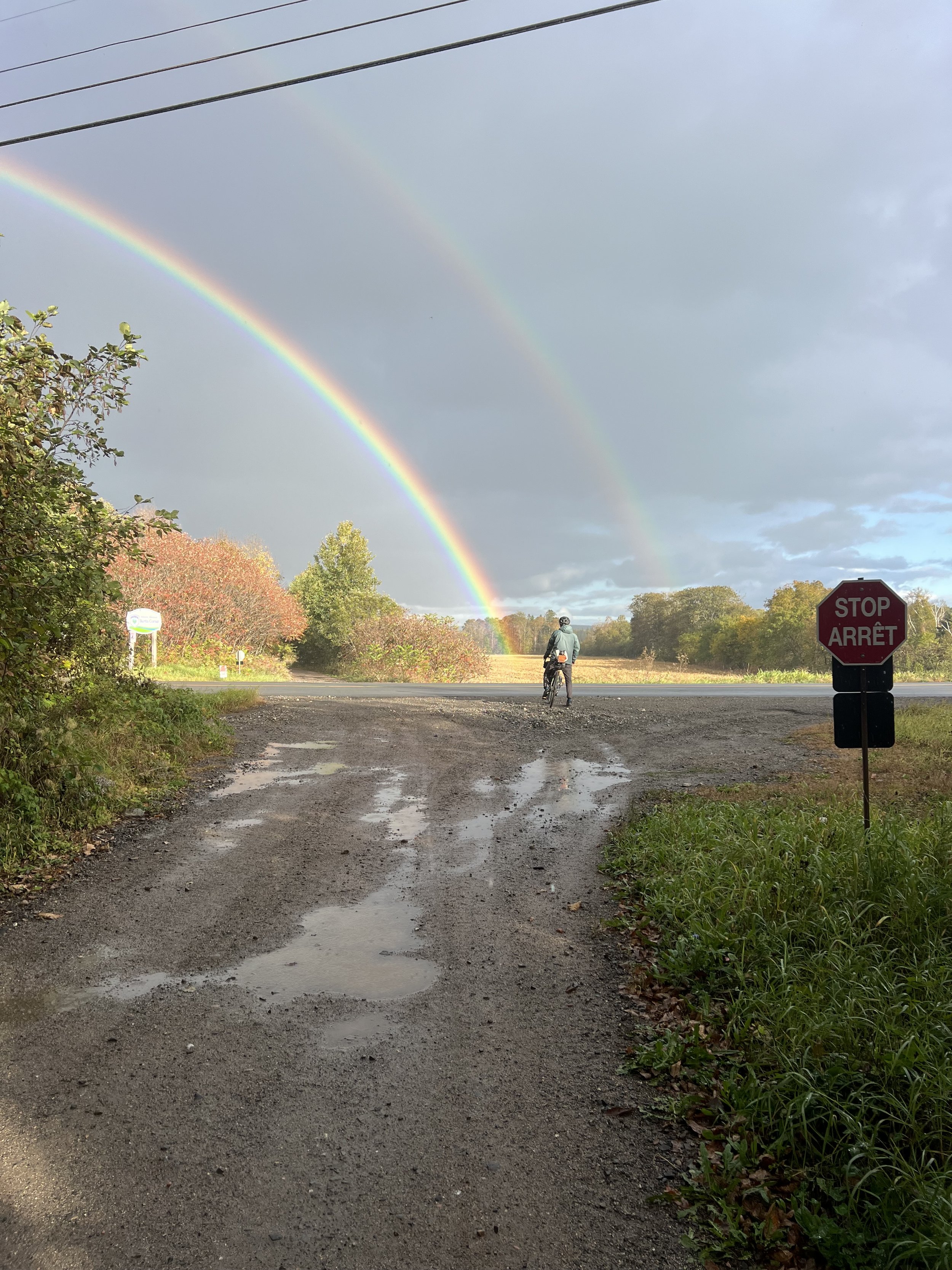
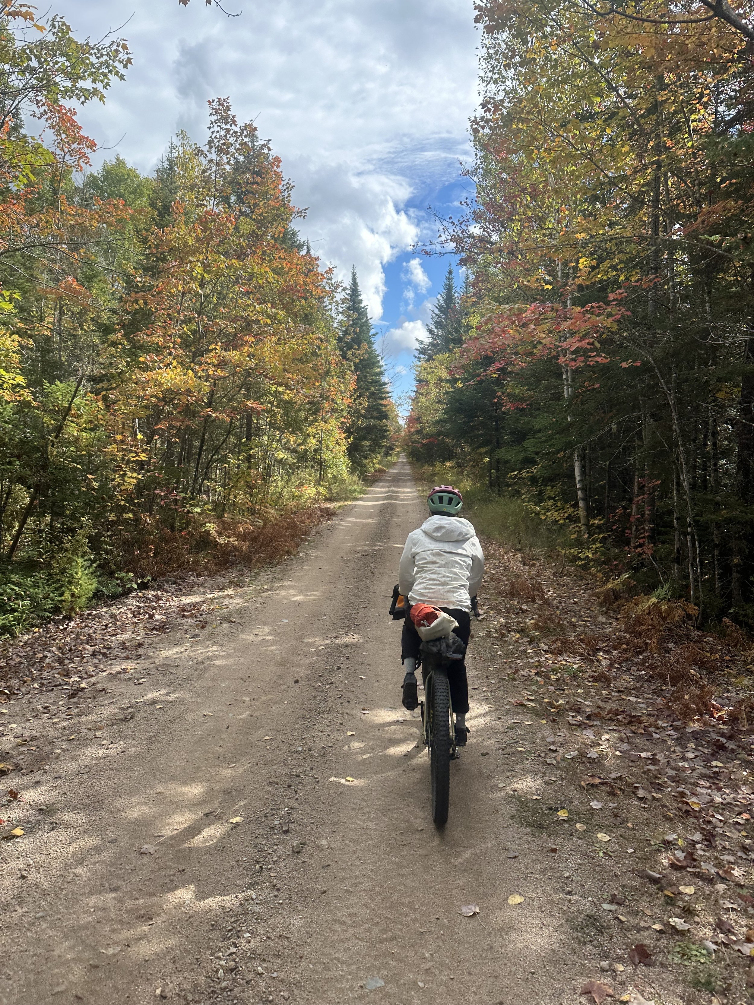
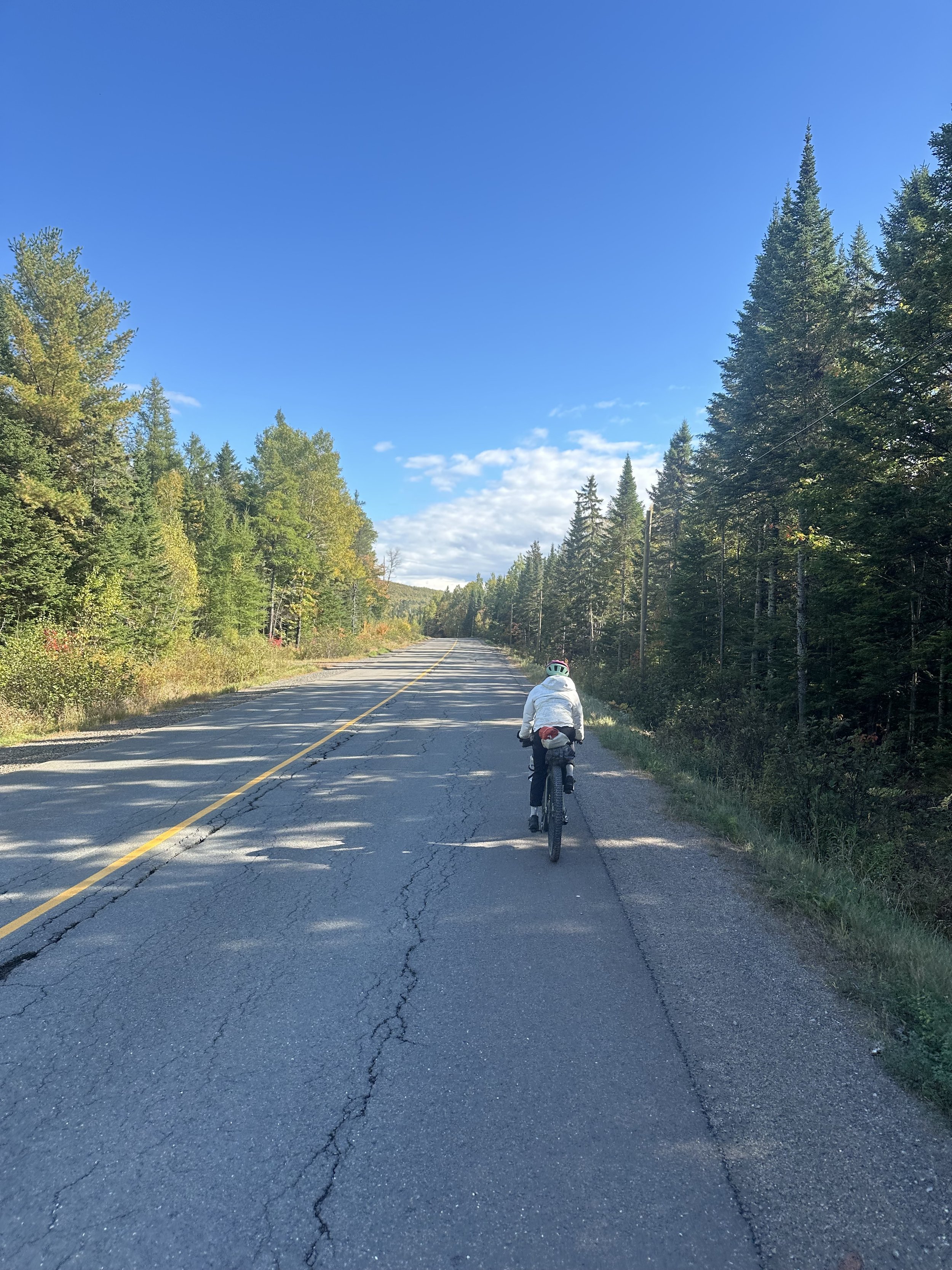
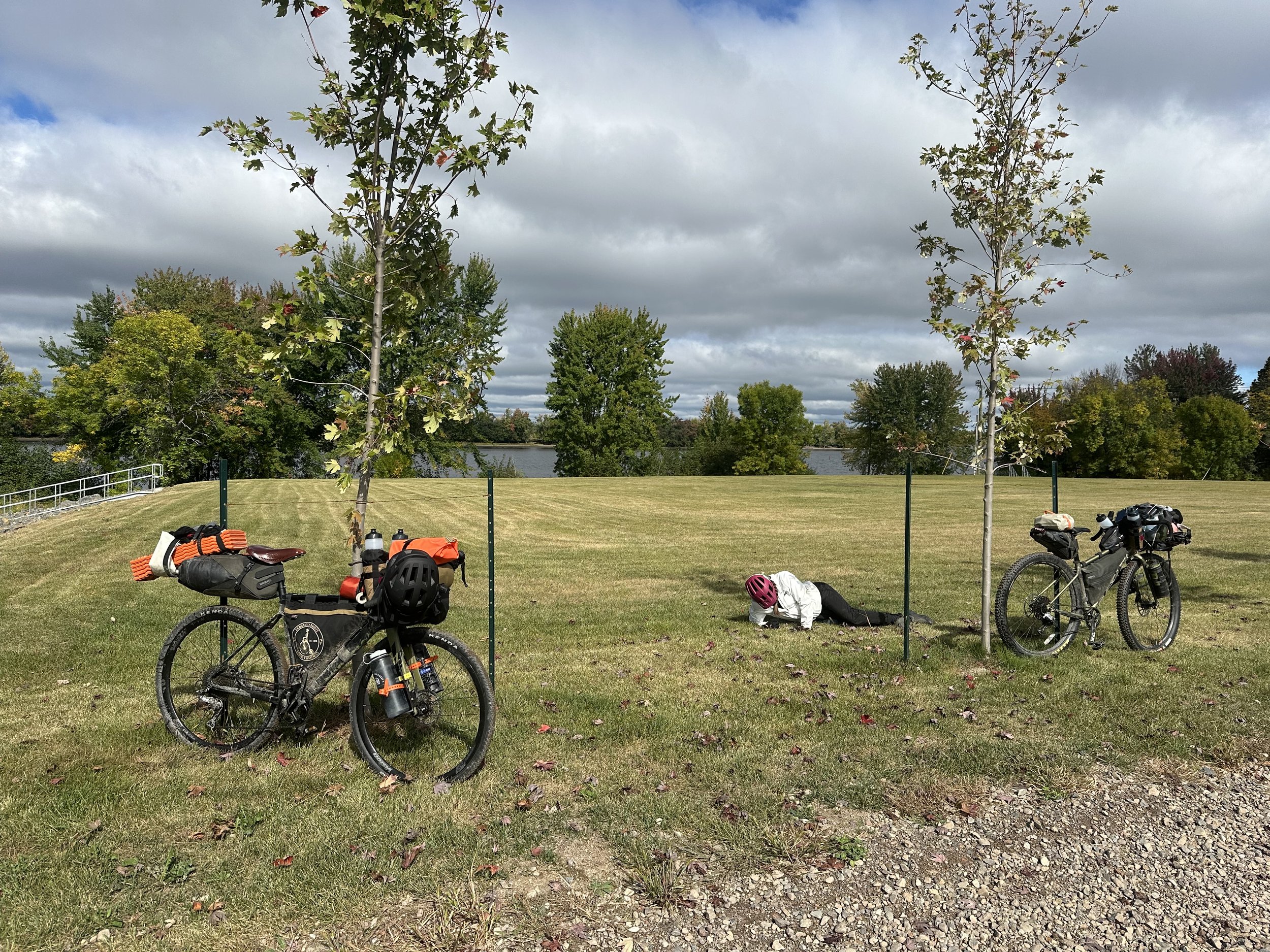
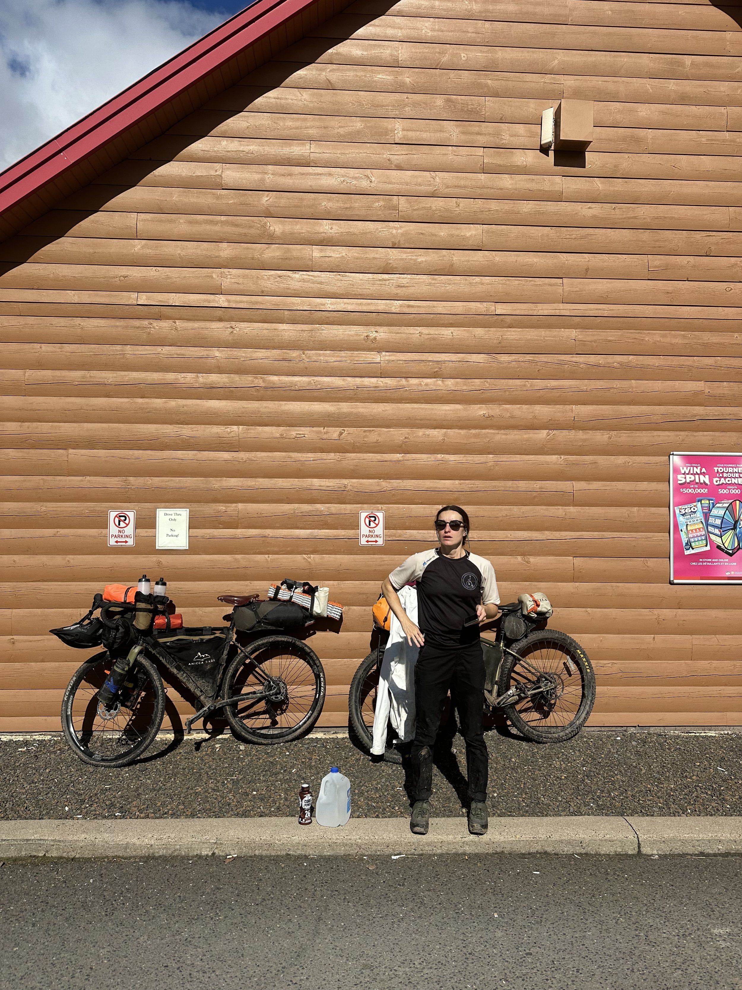
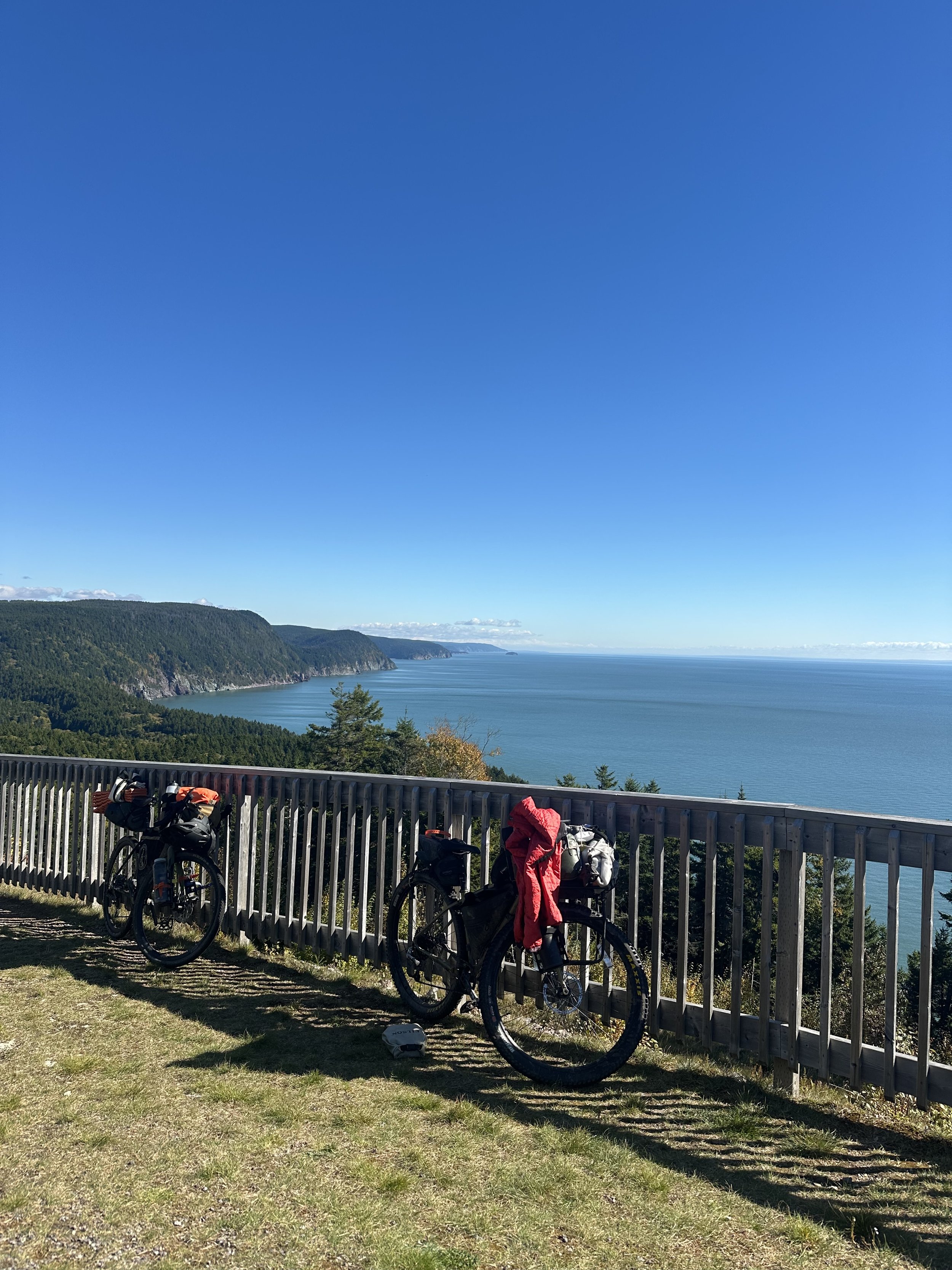
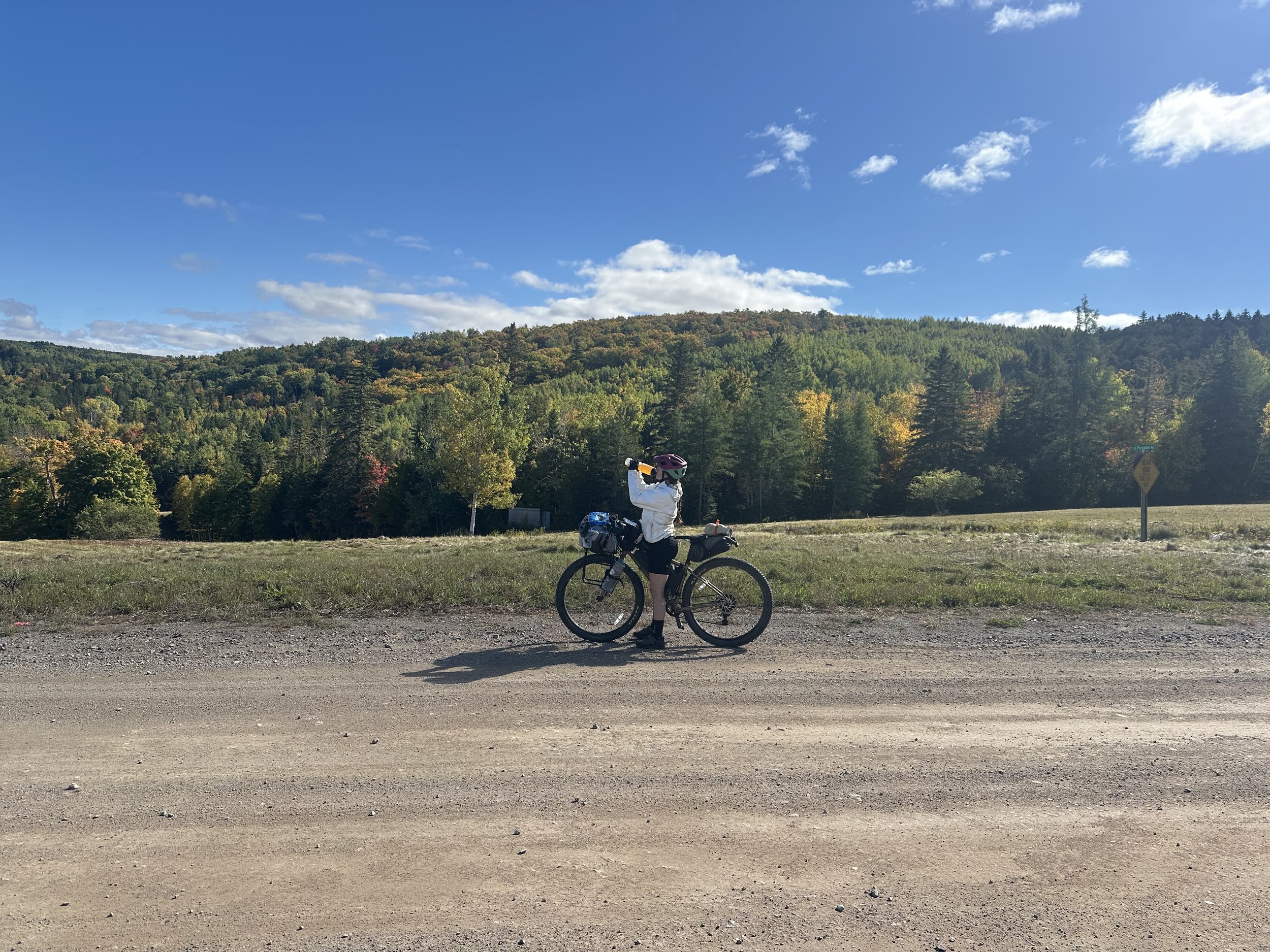
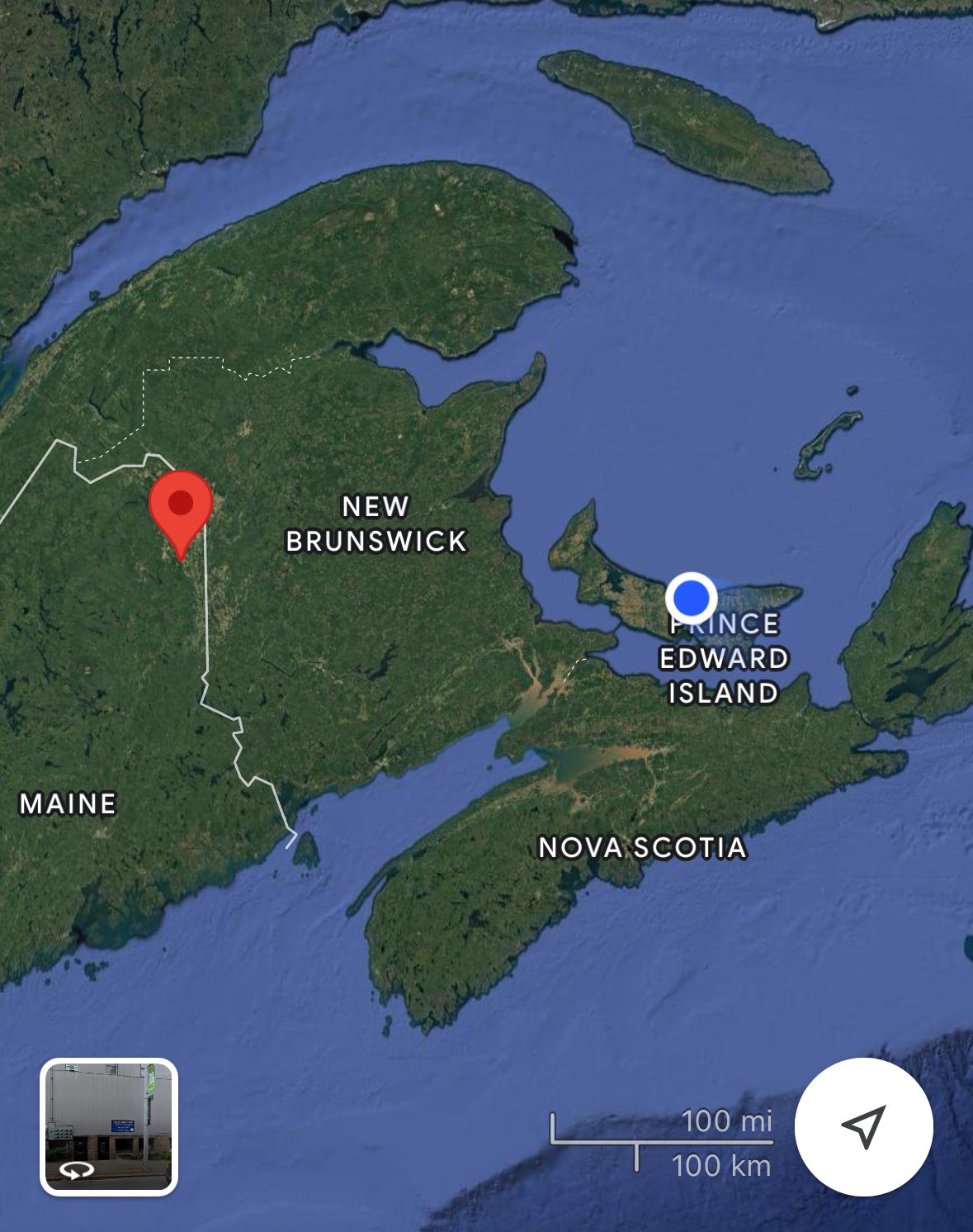
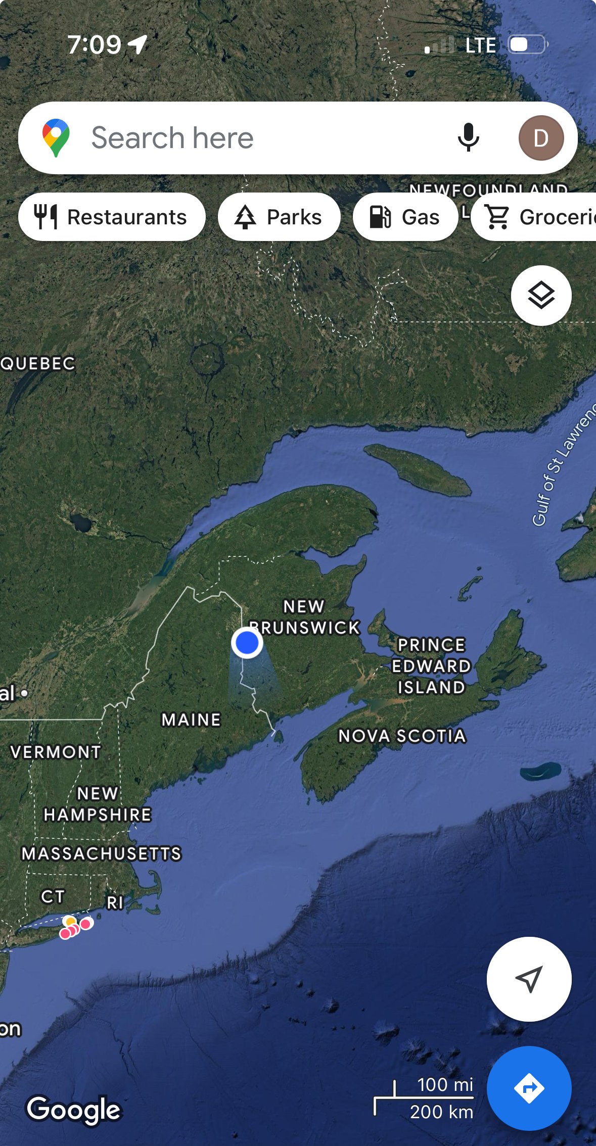
From 9/26/2024 to 10/5/2024 Jennifer Harvey and Drew Harvey bikepacked from Presque Isle, Maine across New Brunswick to Prince Edward Island (P.E.I). The duo covered 463 miles in 8 days on mostly unpaved roads while carrying all their own gear, and toggling between the Trans Canada Tail, and the Eastern Divide Route (Tamarack Trail).
Start Point: Presque Isle, Maine, USA
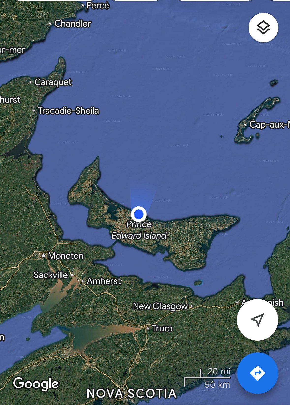
End Point: Cavendish, Prince Edward Island, Canada
Distance: 463 miles (745 km)
Time: 8 days
Levels of Support: Unsupported, two riders carrying all gear
Trip Report:
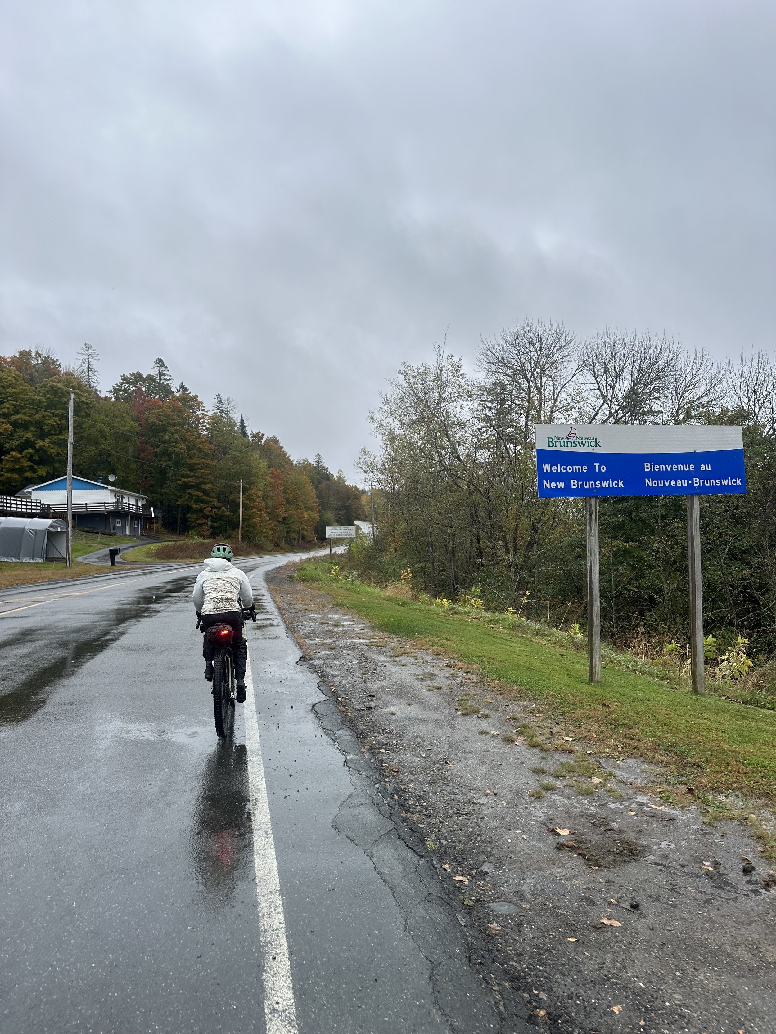
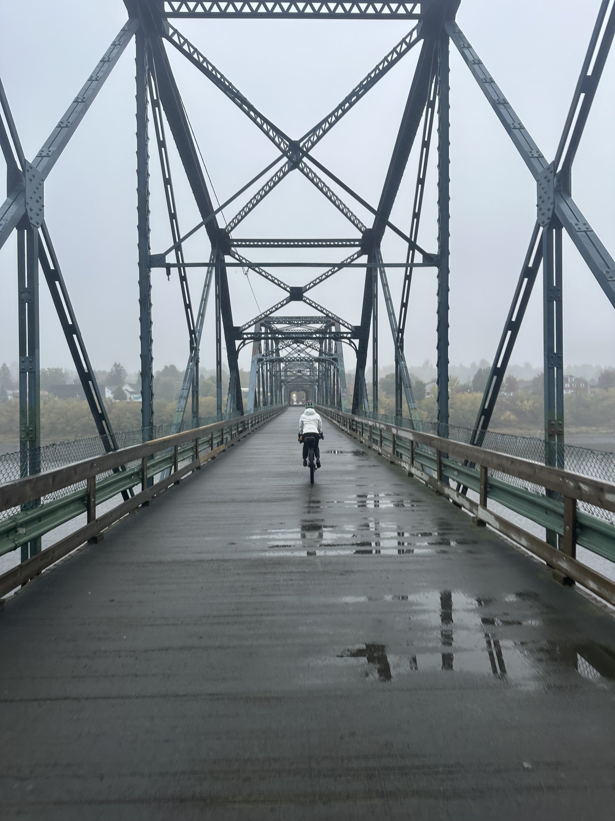
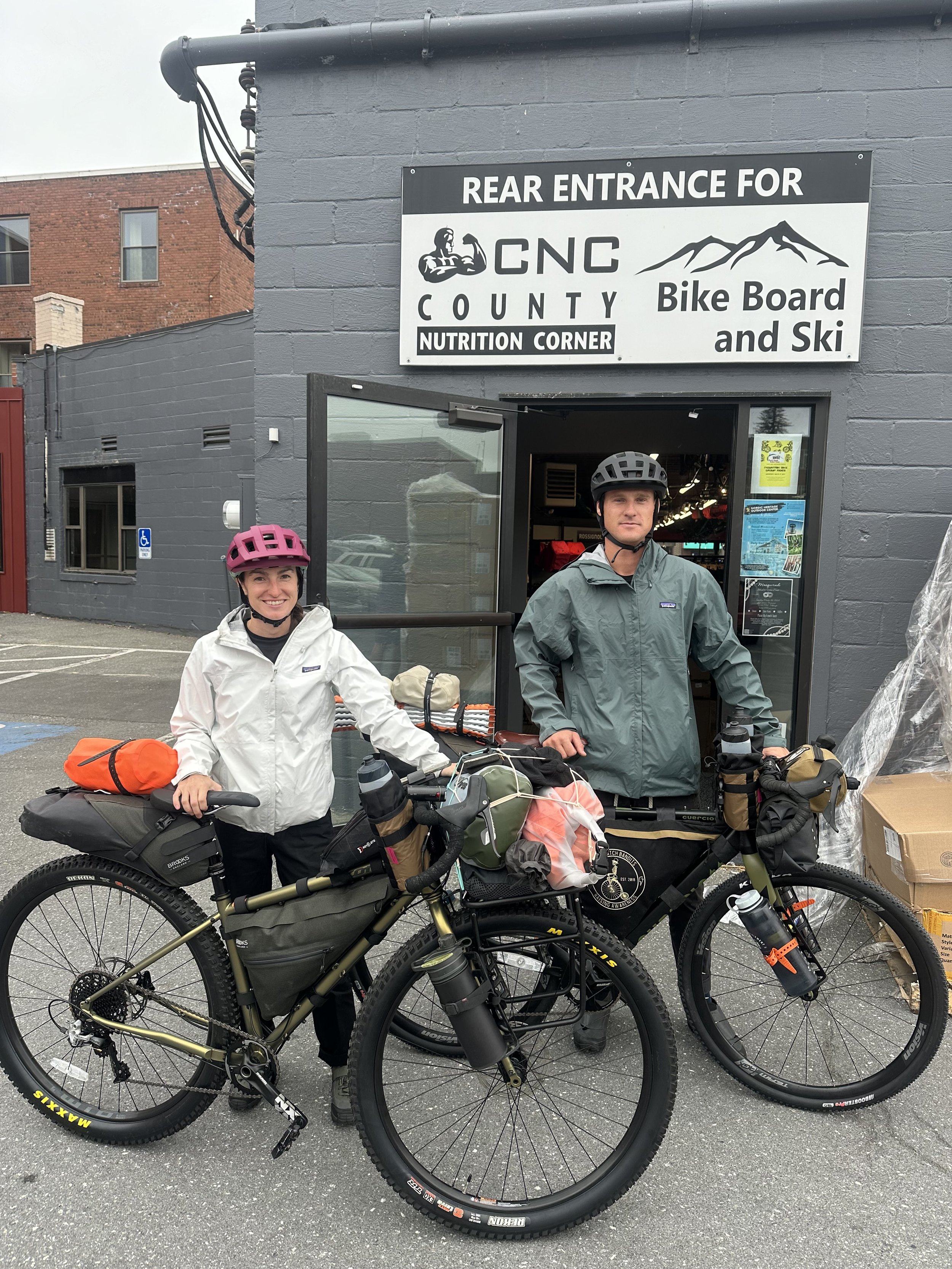
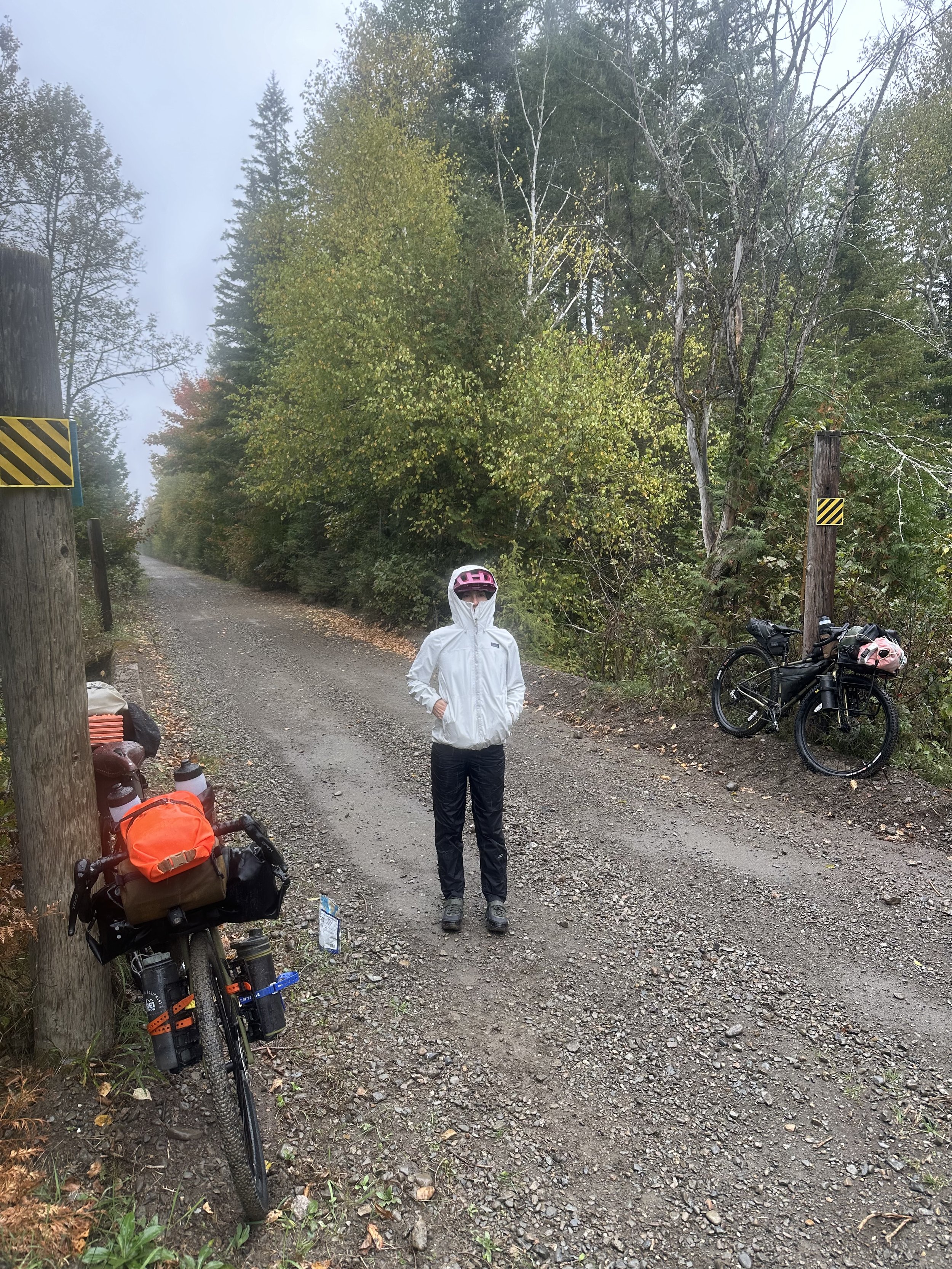
Day 1) 9/26/2024 Presque Isle, Maine start. We had our bikes shipped from New York to the local Bike Board and Ski Shop in town so we could load them up and get going. Flew in the night before and hitched a ride to town with a local on our flight, and got a room for the night. After loading the bikes with all our gear at the shop in the morning we set off. We crossed the border into New Brunswick in the late afternoon, and made it to Florenceville-Bristol for the night after a cold and rainy day of riding.
(42 miles)
Day 2) Florenceville-Bristol, N.B to Fredricton, N.B. (76 miles)
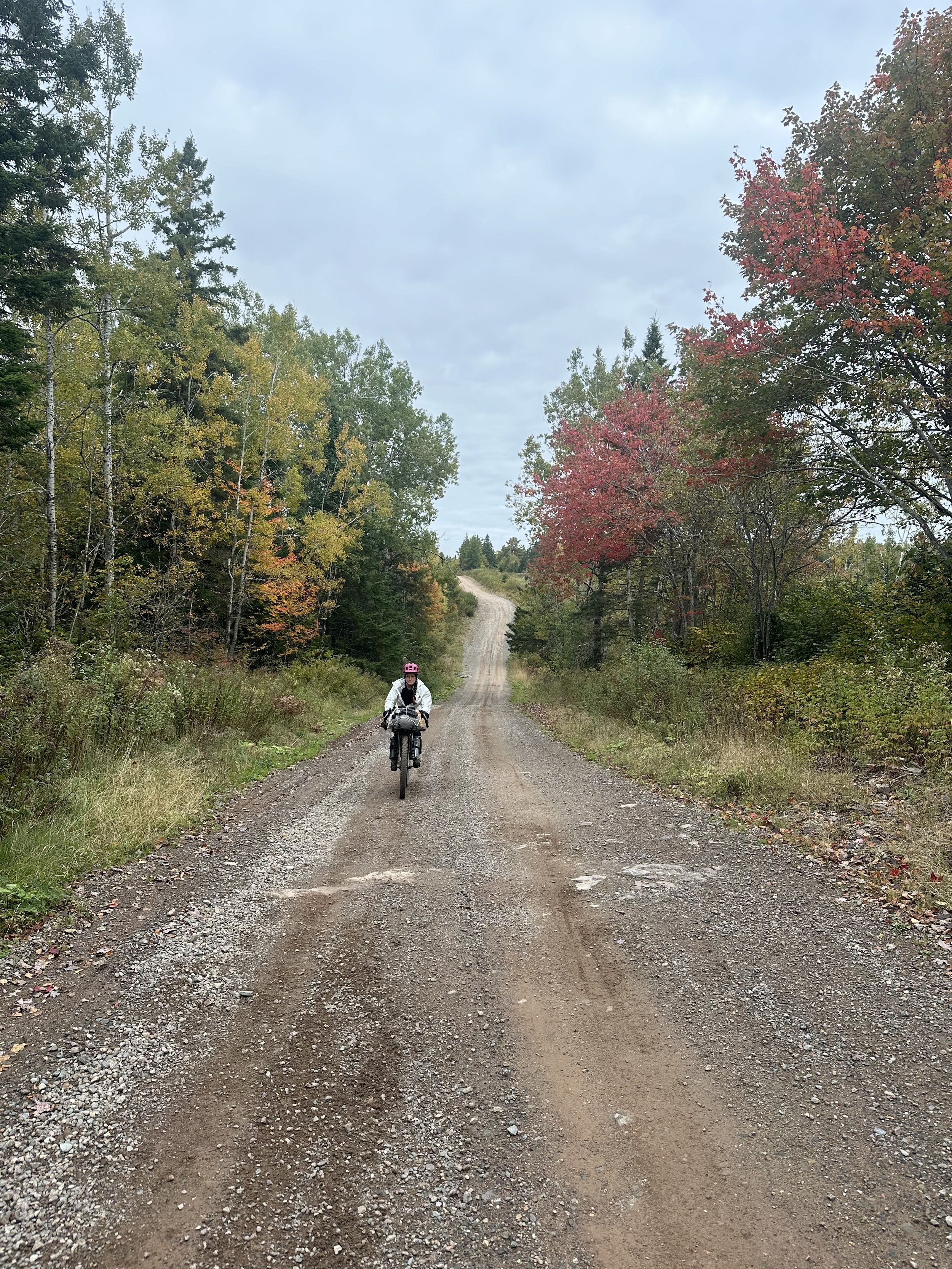
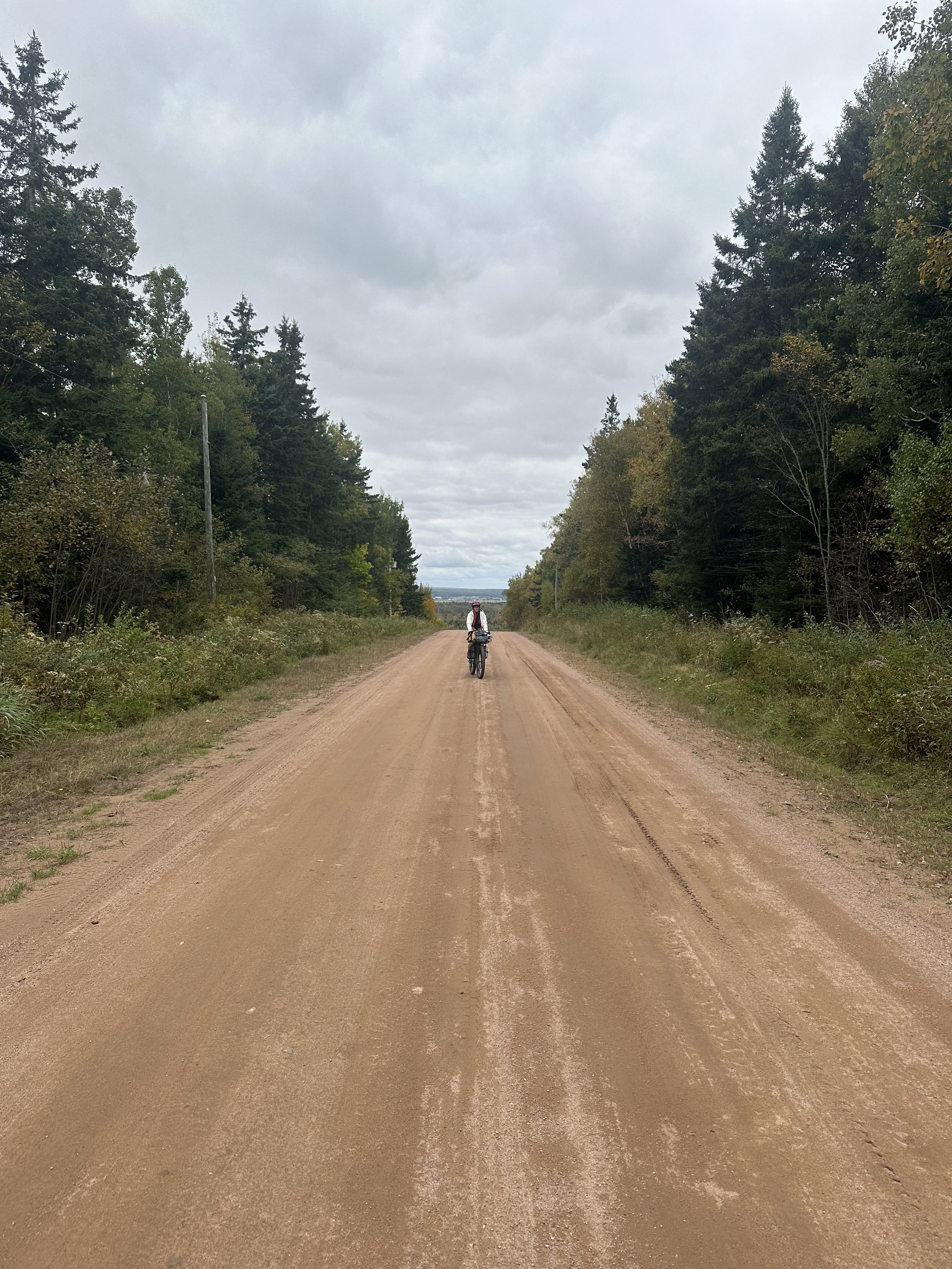
Notes: Beaver damns and swamp crossings made for a tough first half of the day on the Tamarack trail. Luckily we merged up with the Trans Canada Trail into Fredricton and made up some time biking until sundown.
Day 3) Fredricton to Evandale. (57 miles)
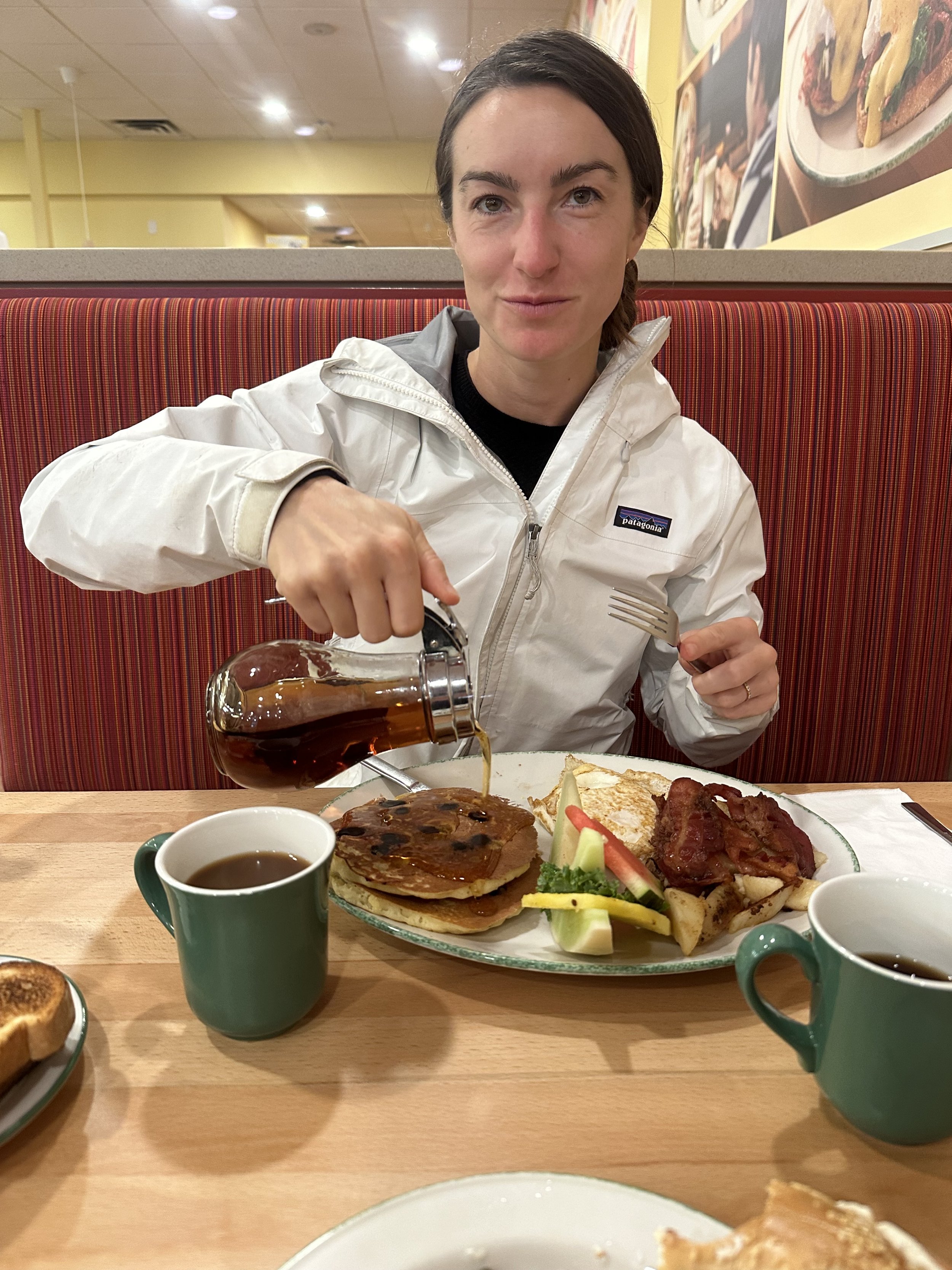
Notes: Hit Savages Bike shop in the morning to reset. Picked up some tubes and got Jennifer’s detailer fixed. Out of Fredricton the roads turned rural and made for a backwoods day of riding. Loaded up on Poutine for lunch and dinner and made camp on the river in Evandale.
Day 4) Evandale to Saint Martins (Bay of Fundy). (54 miles)
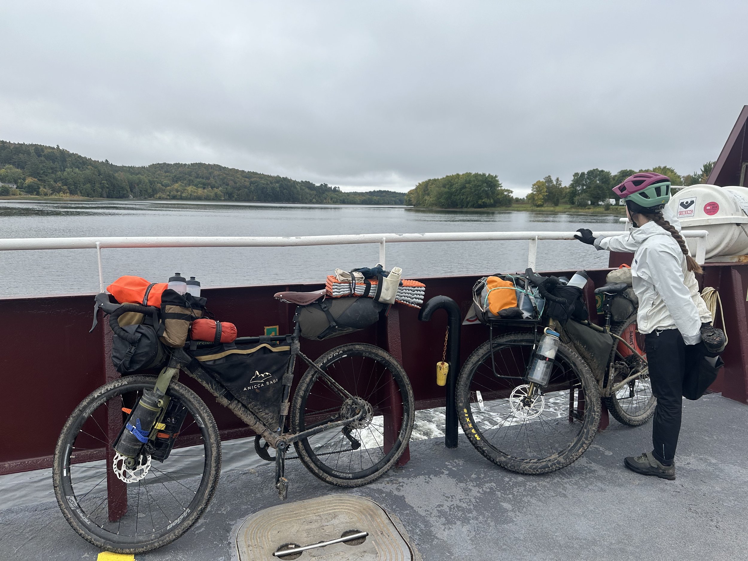
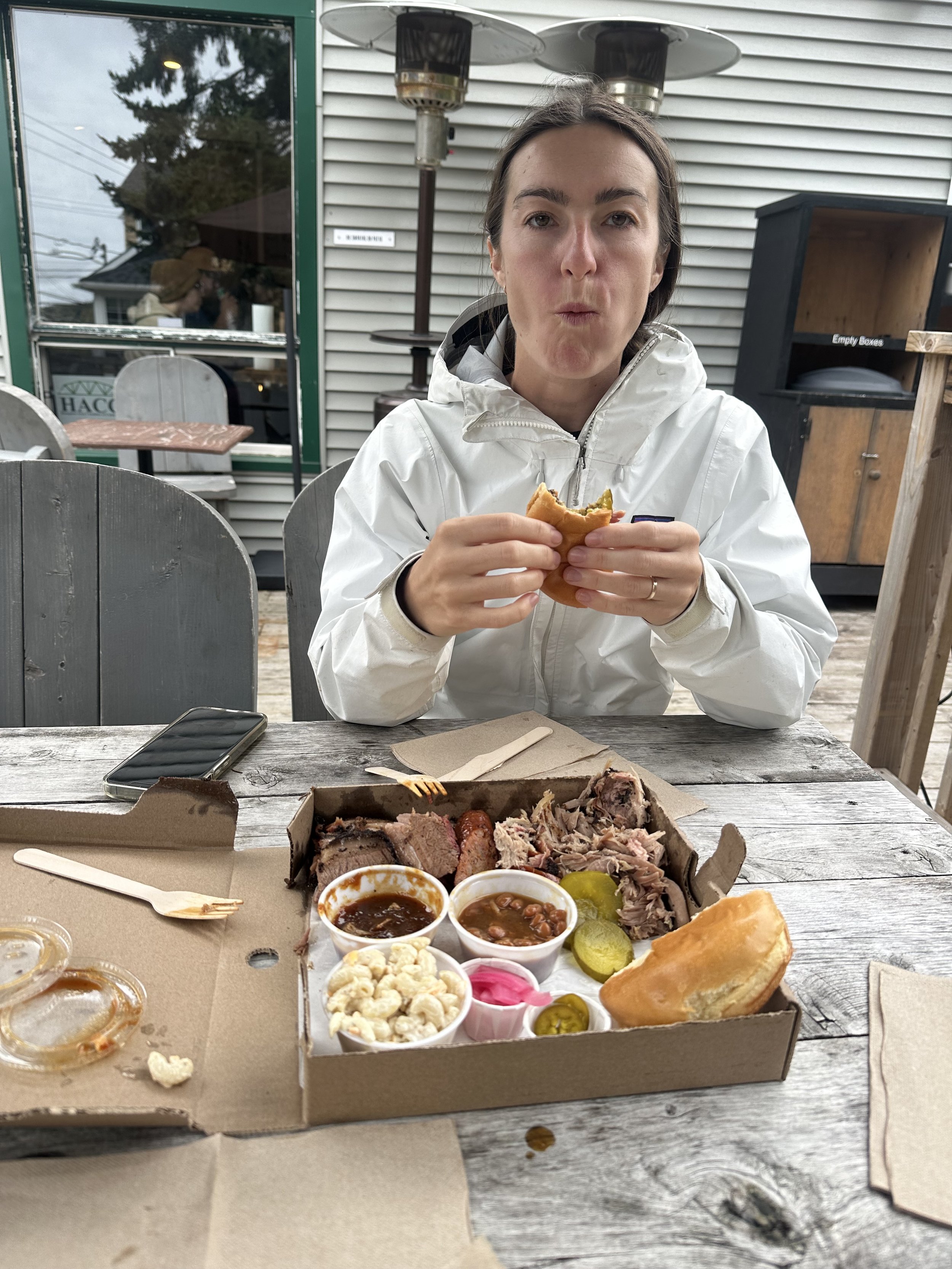
Notes: Started the day with 2 cable ferry crossings across the Saint John River, which bled into a full day of proper gravel riding. Hit BBQ in Hampton for Lunch and made it to Saint Martins on the Bay of Fundy after a long day.
Day 5) Saint Martins to Alma. (62 miles)
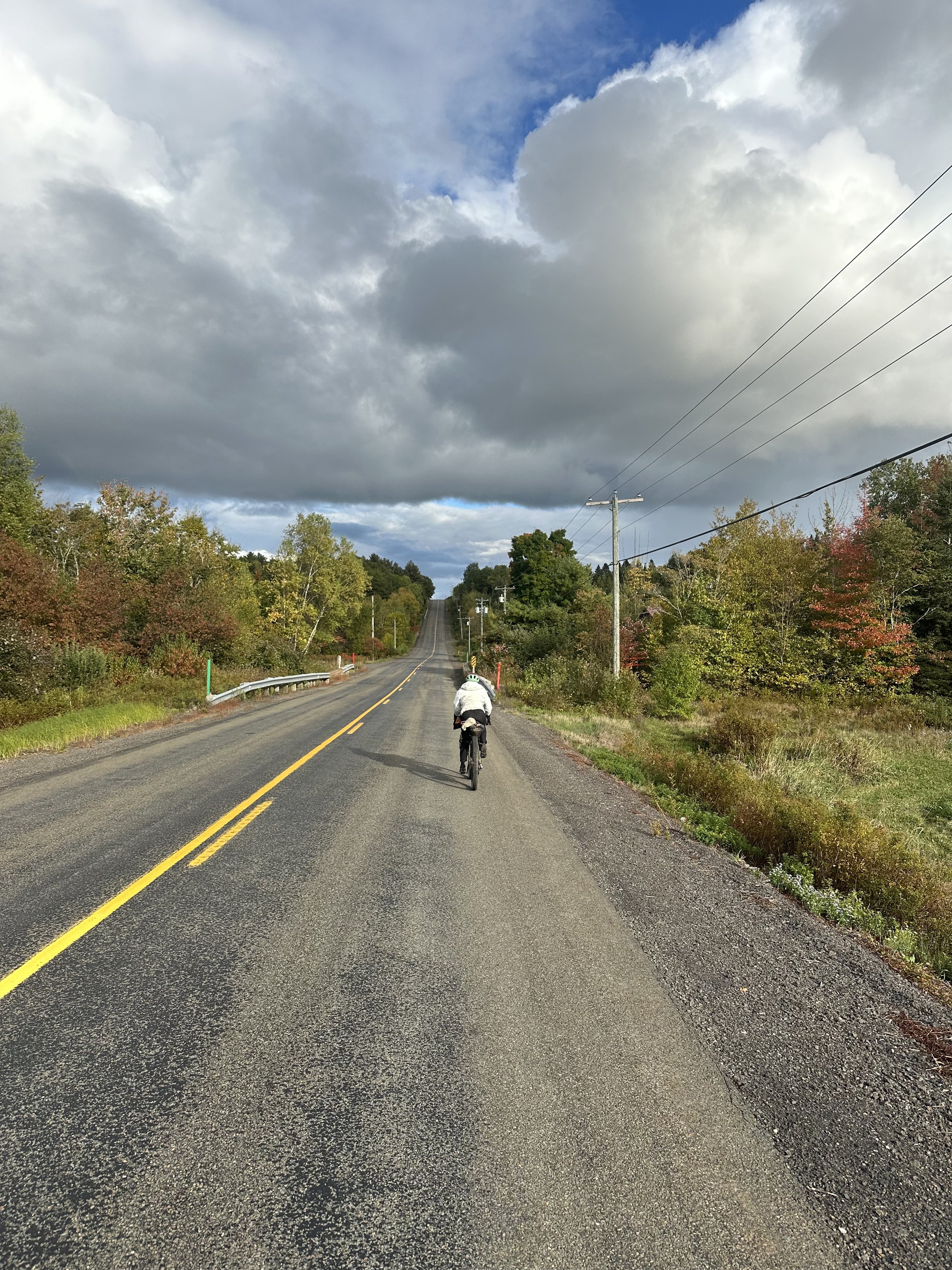
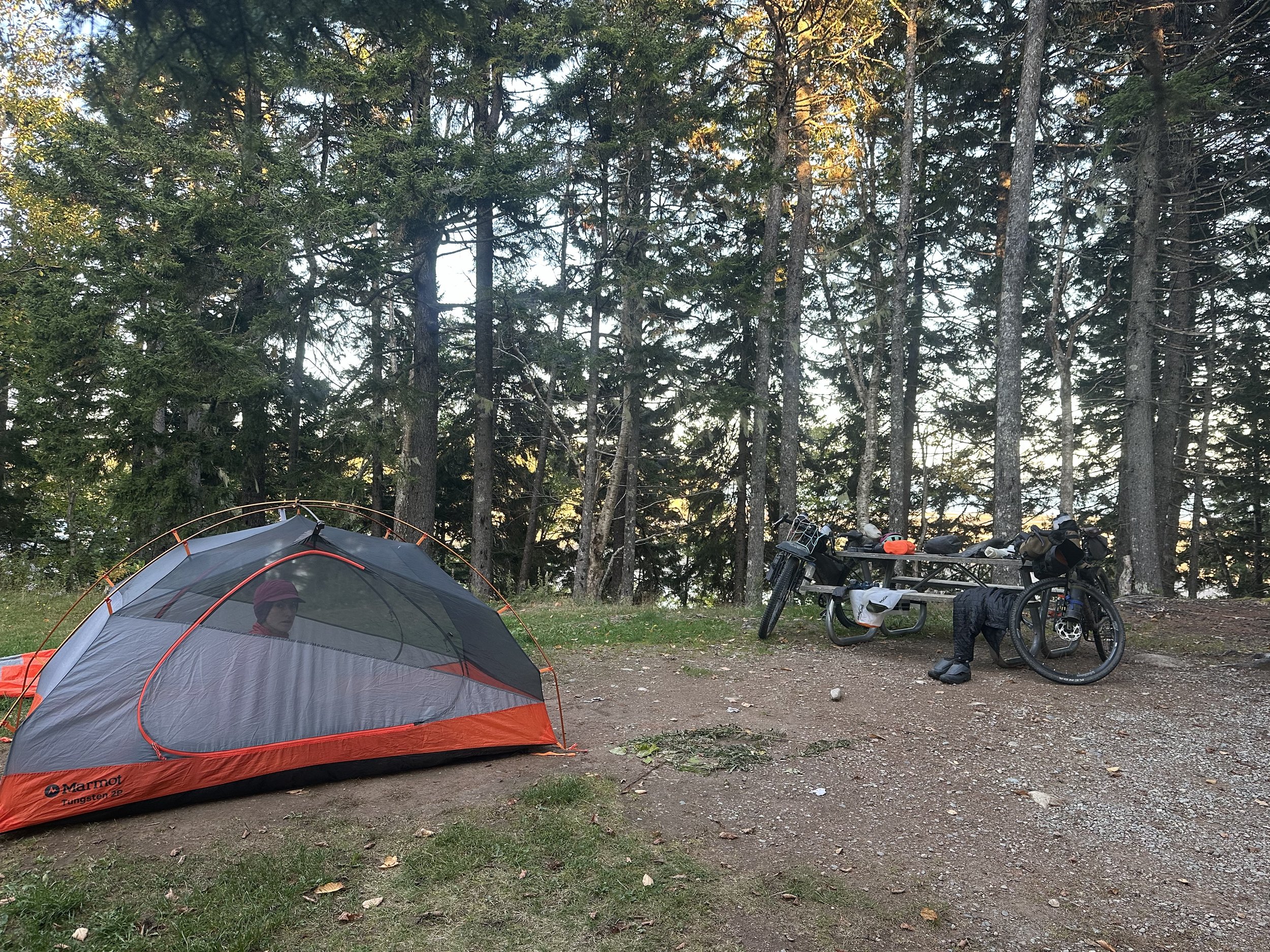
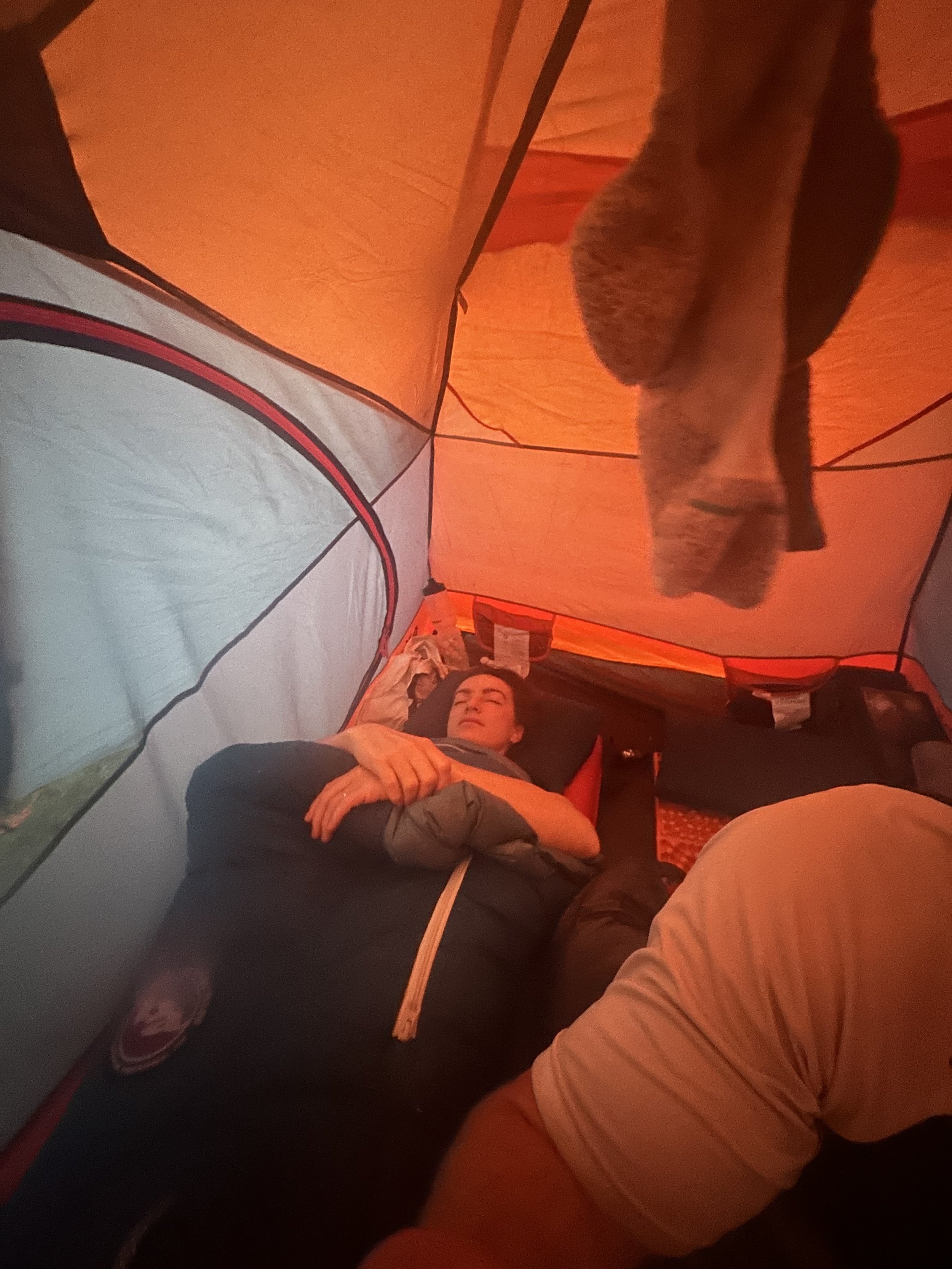
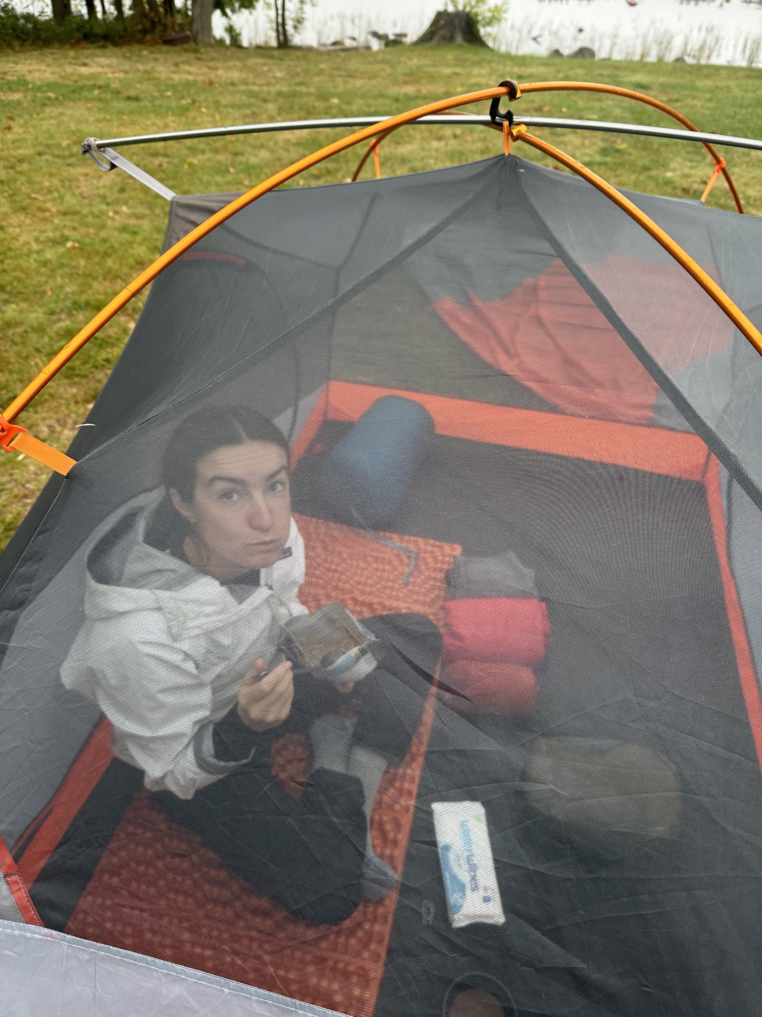
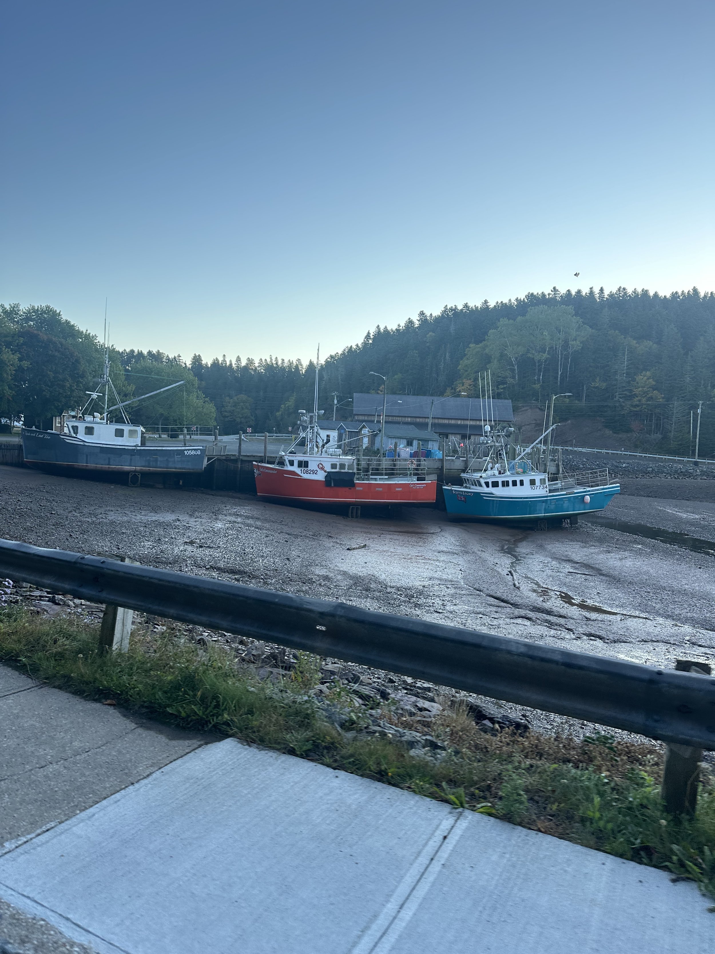
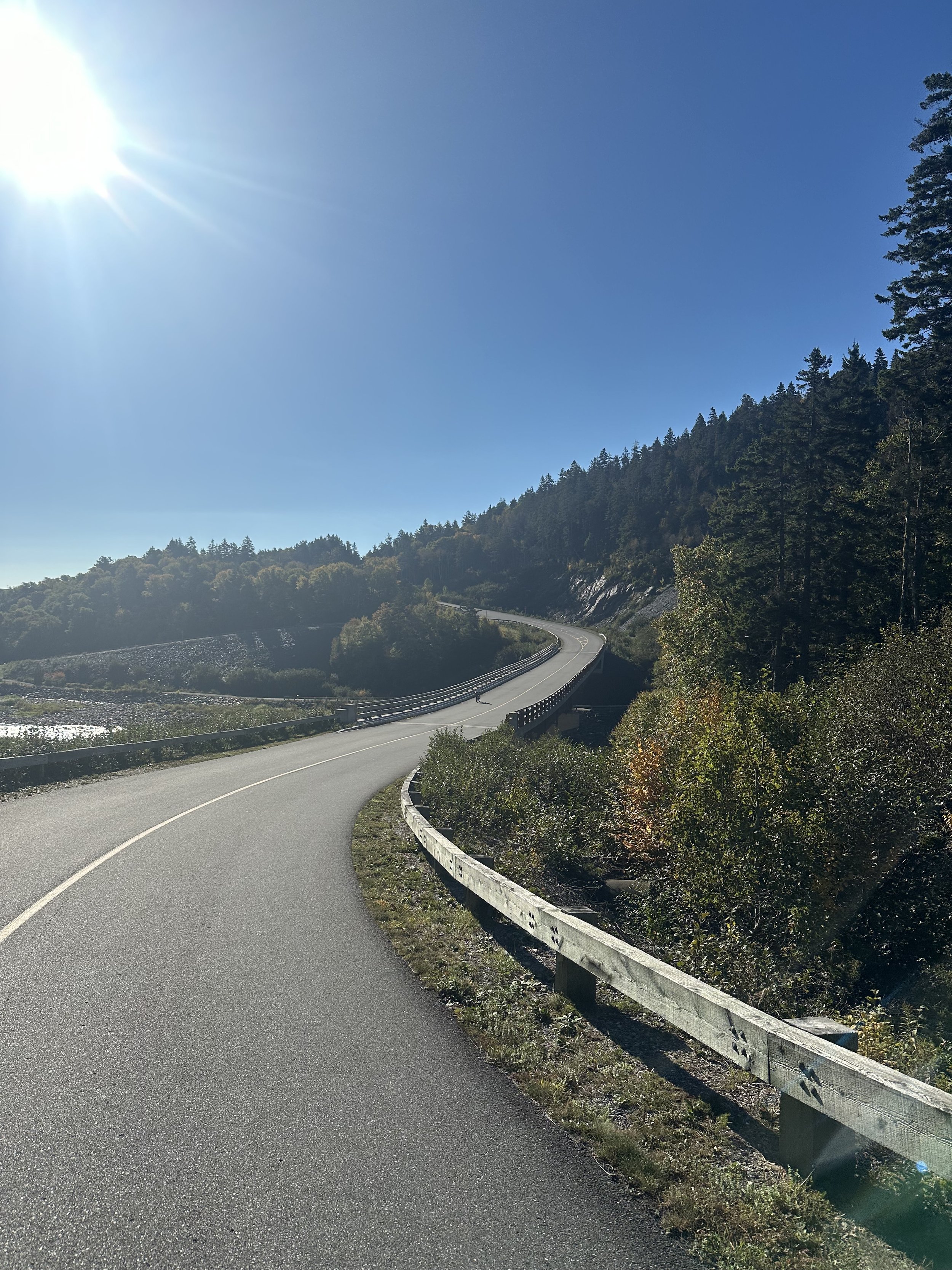
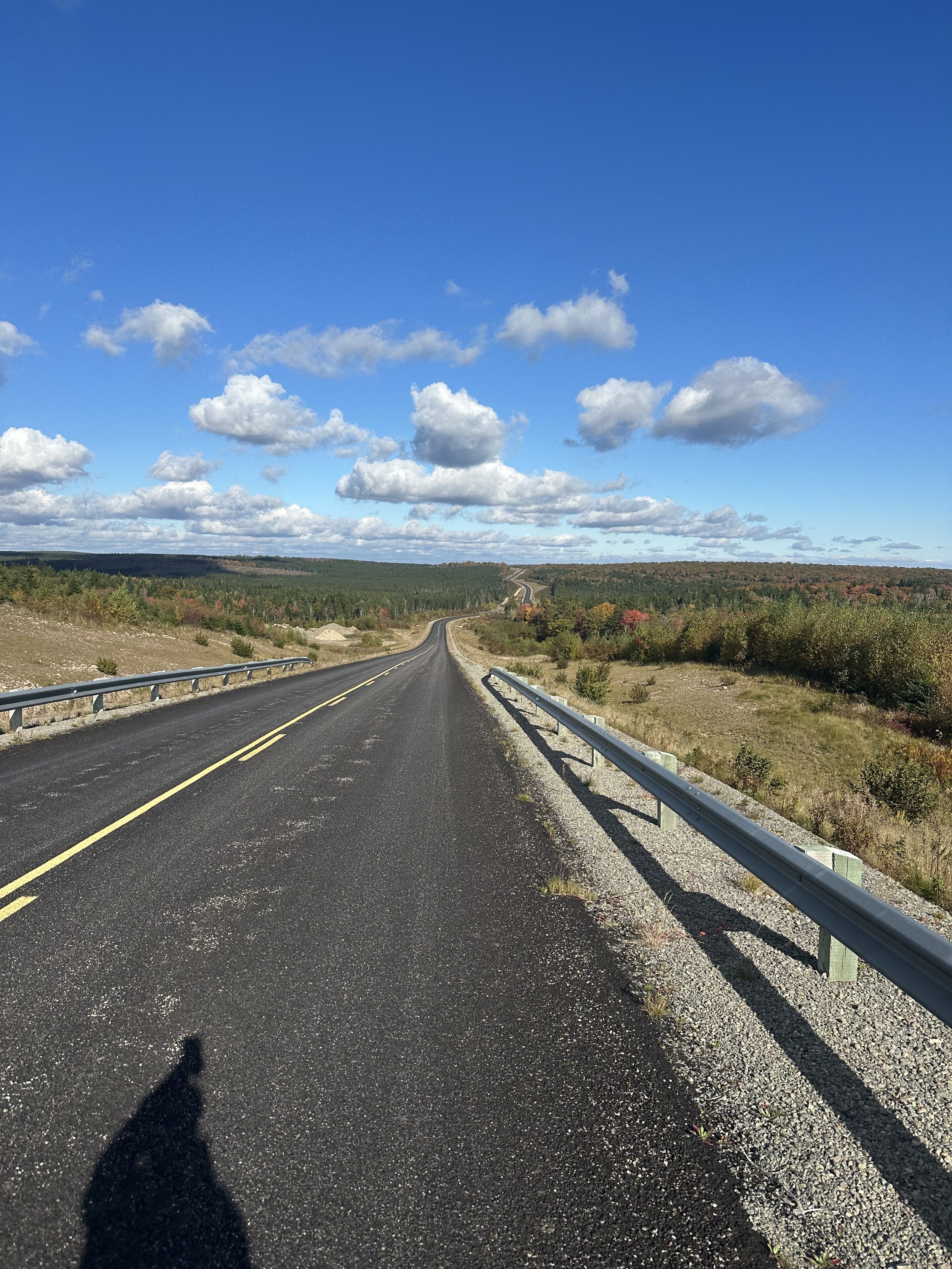
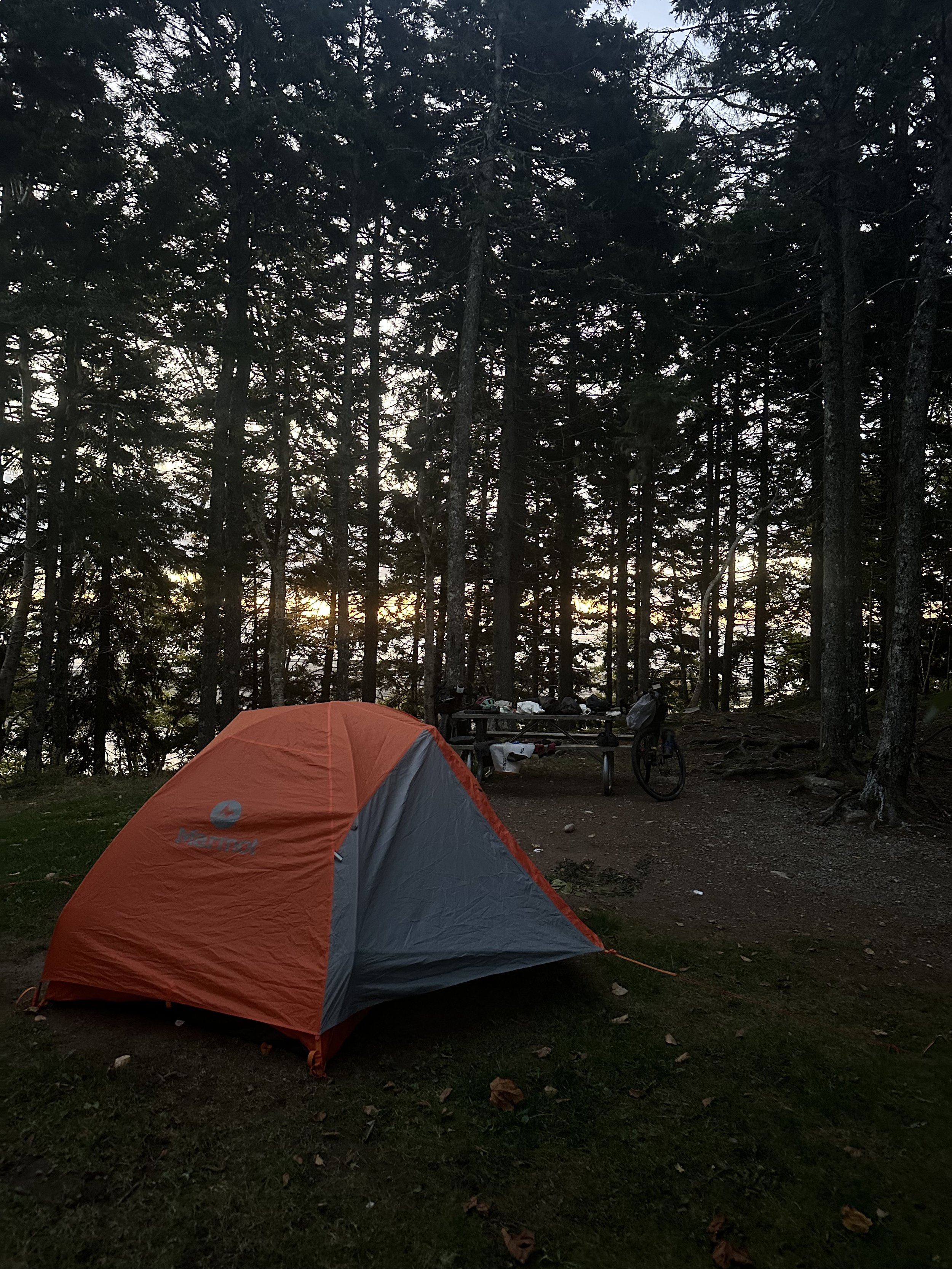
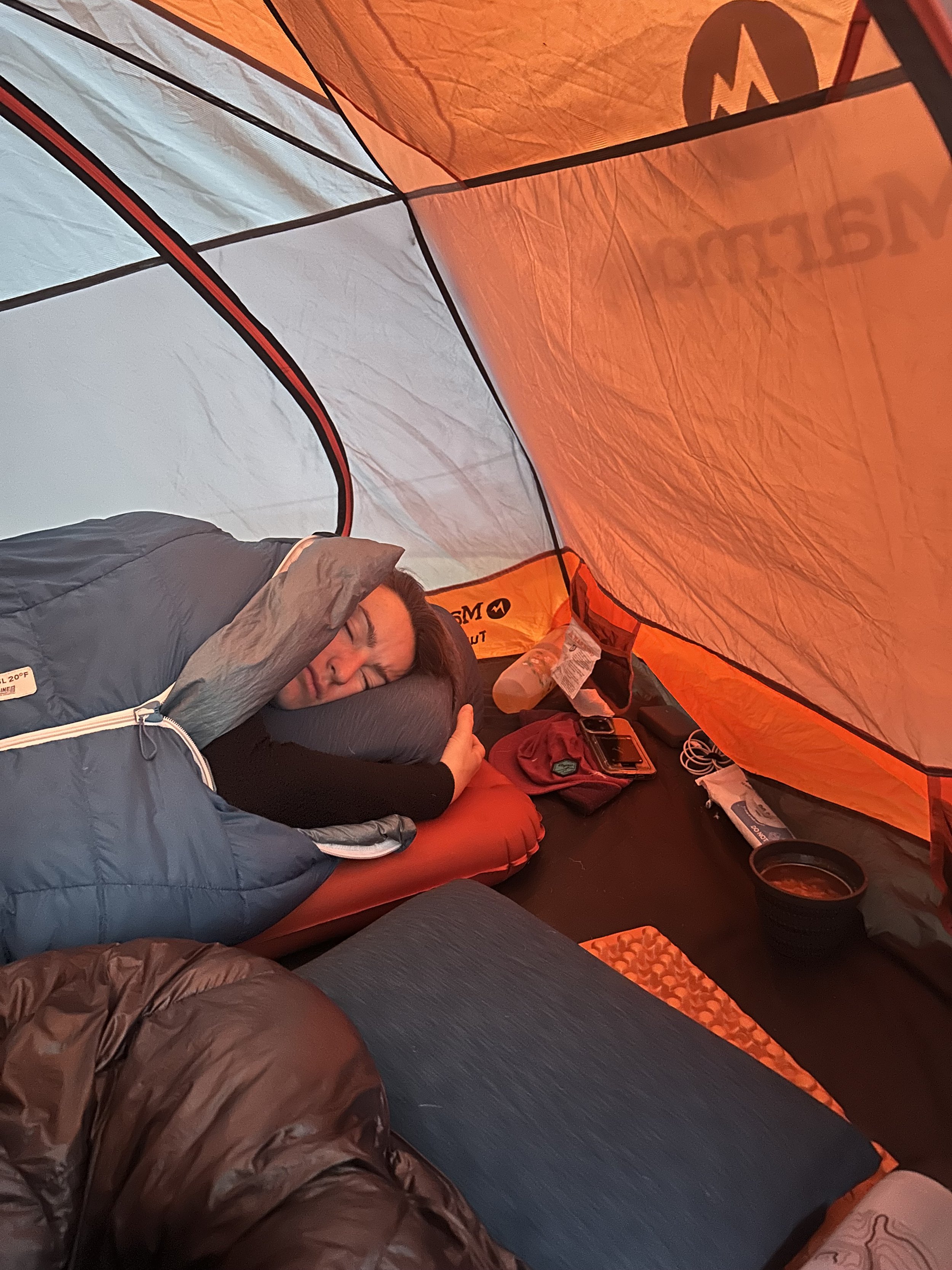
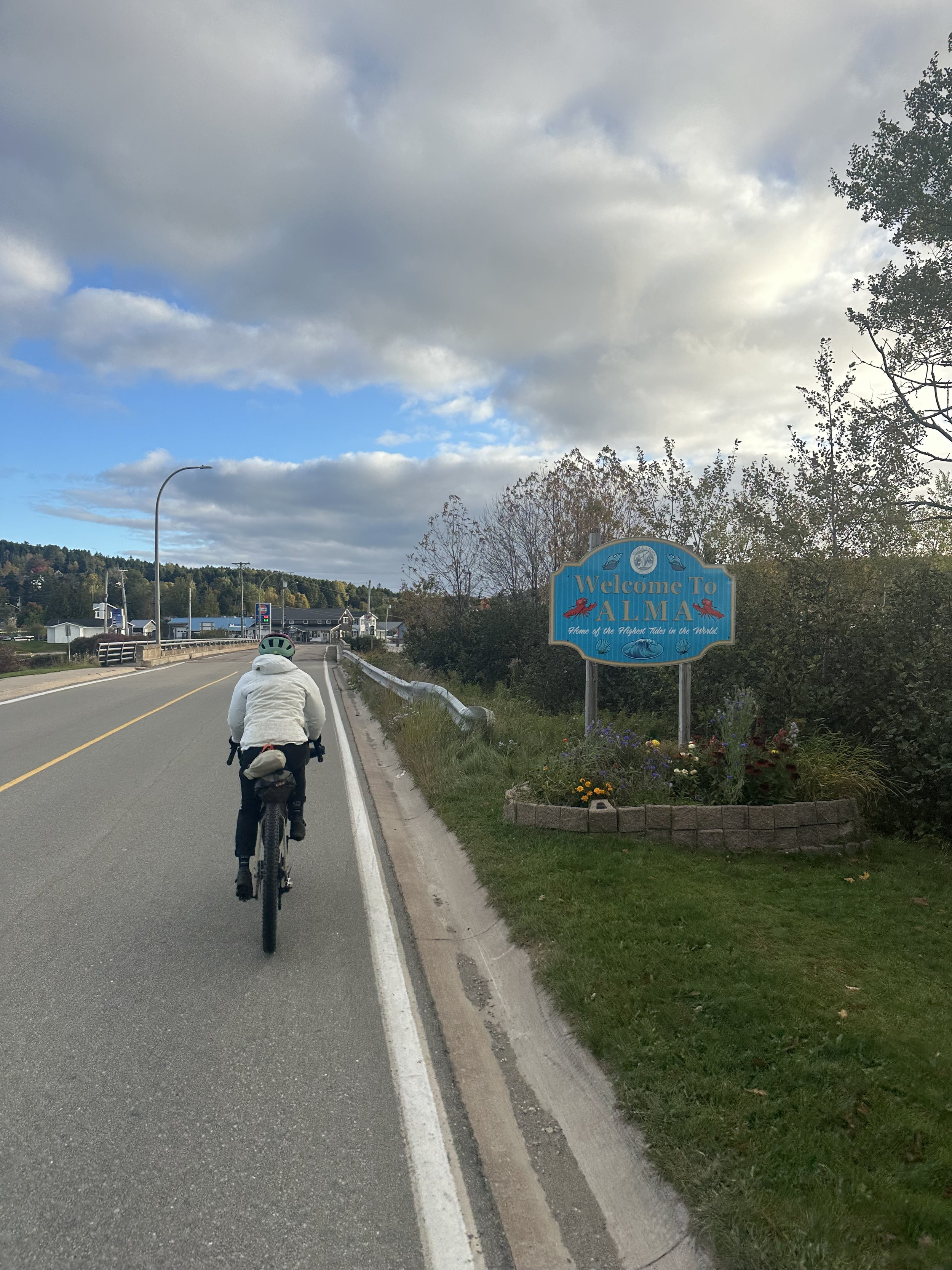
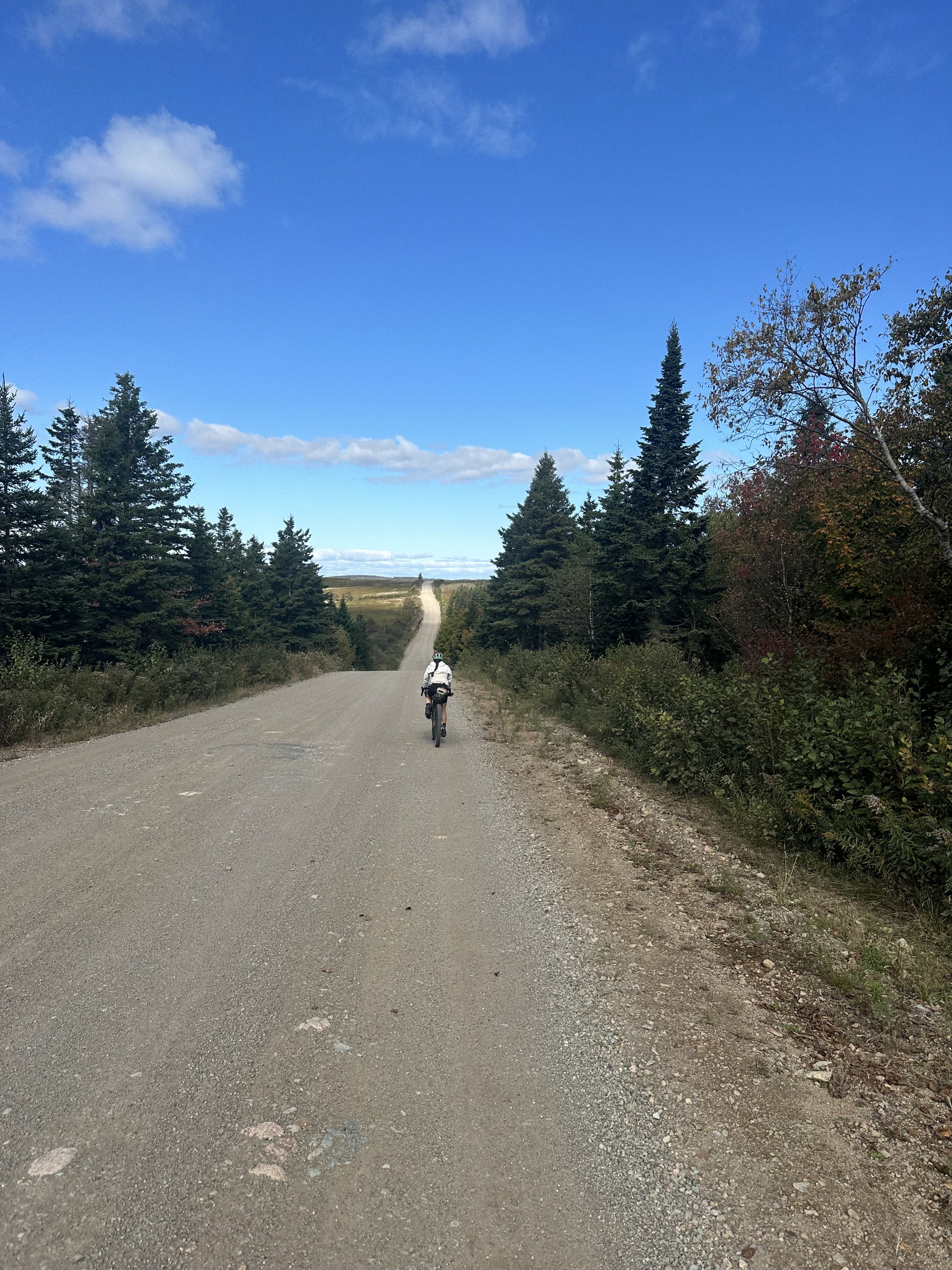
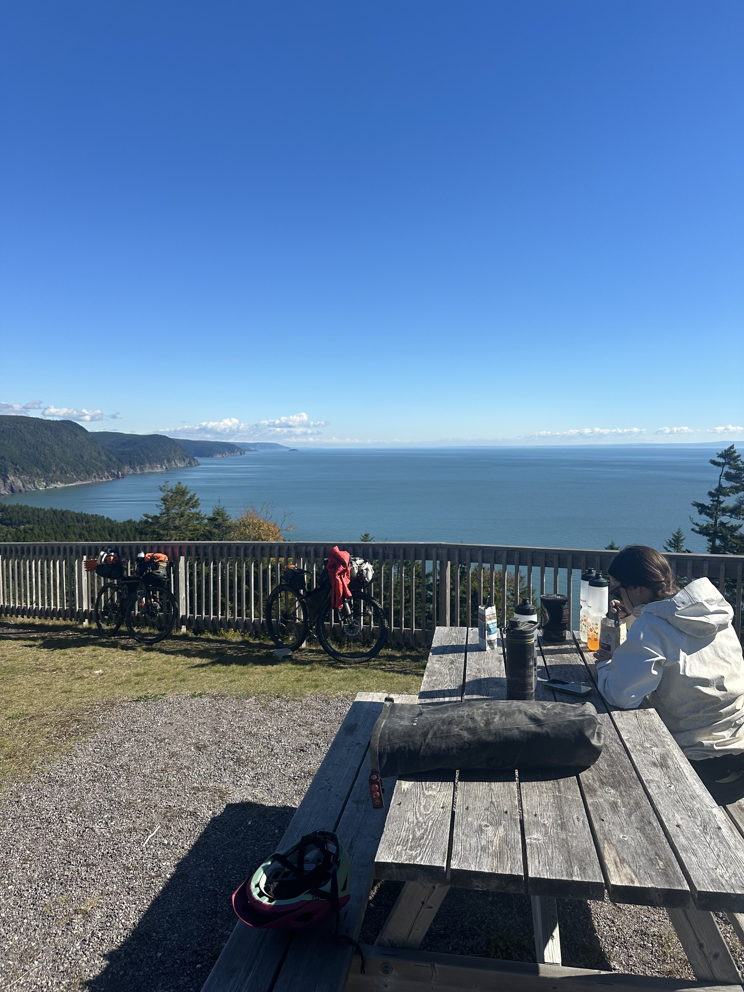
Notes: Low tide climb day. The first mile in the morning took us over a pristine covered bridge surrounded by fishing boats propped up on boxes sitting on the seafloor waiting for the tide to come in so they could go out. Then the climbing began. We made our way up to the Sentier Fundy Provincial Park and began following the coastline for much of the day. From the road you get sweeping views of the Bay. The coastal road has steep grades with signs reading 12%, 14%, 15% grades. The trail turned off the bay late in the day and began to traverse high rolling plains. There were no road signs. These were pure countryside miles. The road rolls along as if laid down and left in a single pour for the through traveller. It seemed we were heading to no where, just making our way across the lands indefinitely. Finally we dropped down into Fundy National Park and hit an epic downhill into the Headquarters Campground to pitch up our tent for the night. We then continued down the hill to “Tipsy Tales” for dinner in the little fishing Village of Alma after making camp. It was a silent and clear night in the tent. Stars were out. Waves rolling in on the shores of the Bay of Fundy.
Day 6) Alma to Moncton N.B. (57 miles)
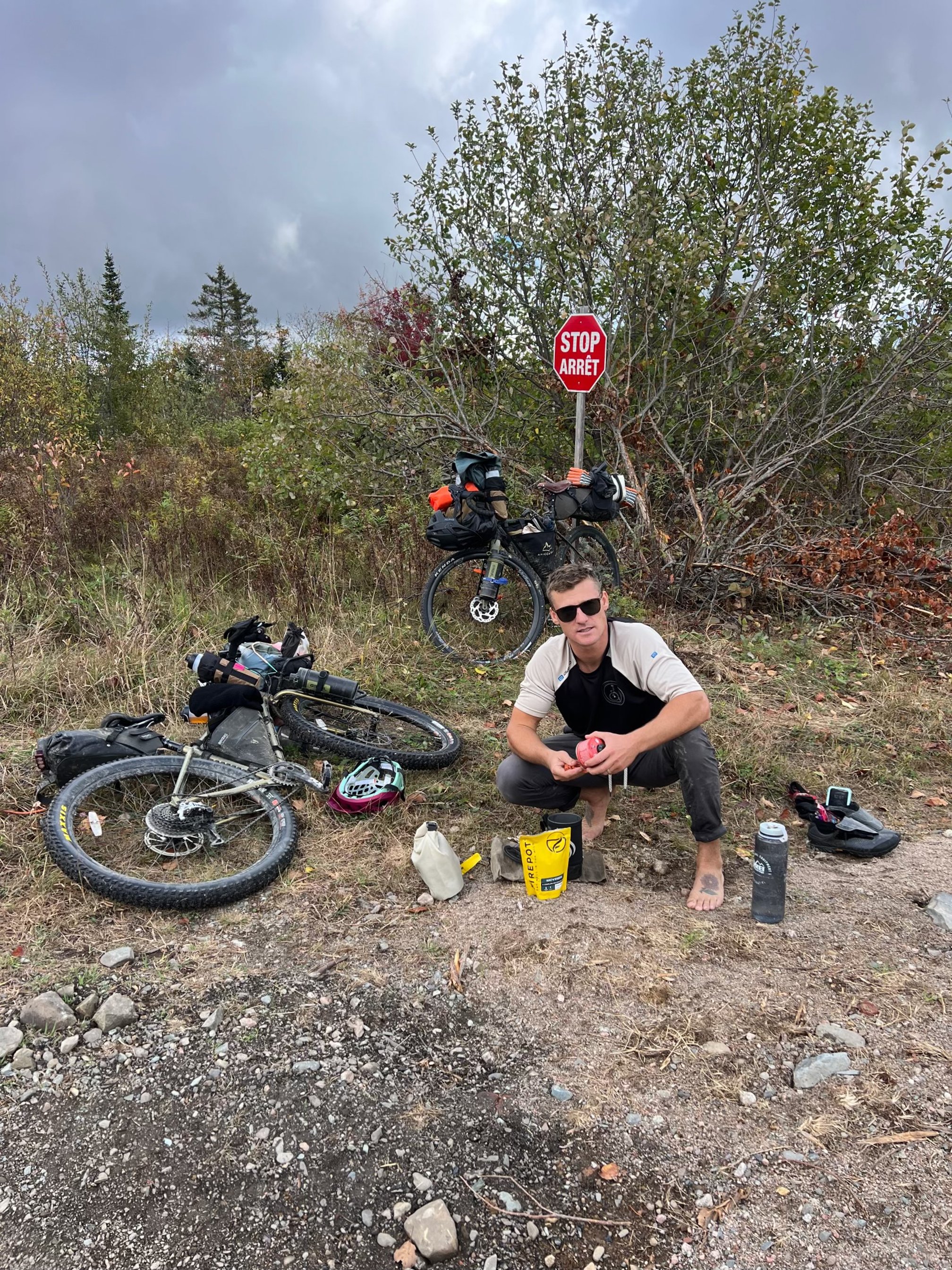
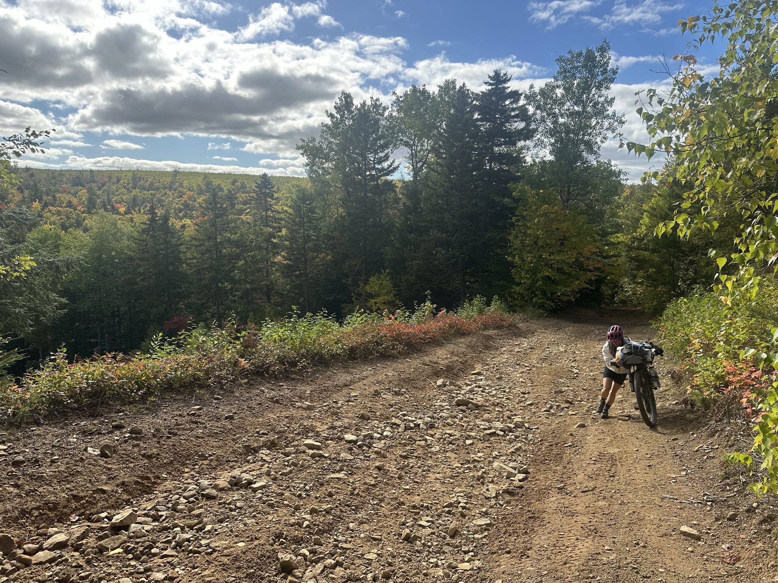
Notes: Woke up and watched the sunrise over the Bay. Fired up the Jet boil for coffee. The morning air was brisk and salty. Fresh. Low tide again. Breakdown camp. Muddy water grill for breakfast. General Store for restock. Climb day 2.0. Washed out ATV Roads. Loose boulders. Steep grades. Had to walk the bikes on “Hardscrabble Road” for a couple miles. Made it to 45 River Covered Bridge. Brutal. Rewarding. Pushed on to Moncton and made it by night fall. Got a hotel room for the night. Took time to review the route that evening and made a game plan for our approach to Prince Edward Island.
Day 7) Moncton to Cape Tormentine N.B. (63 miles)
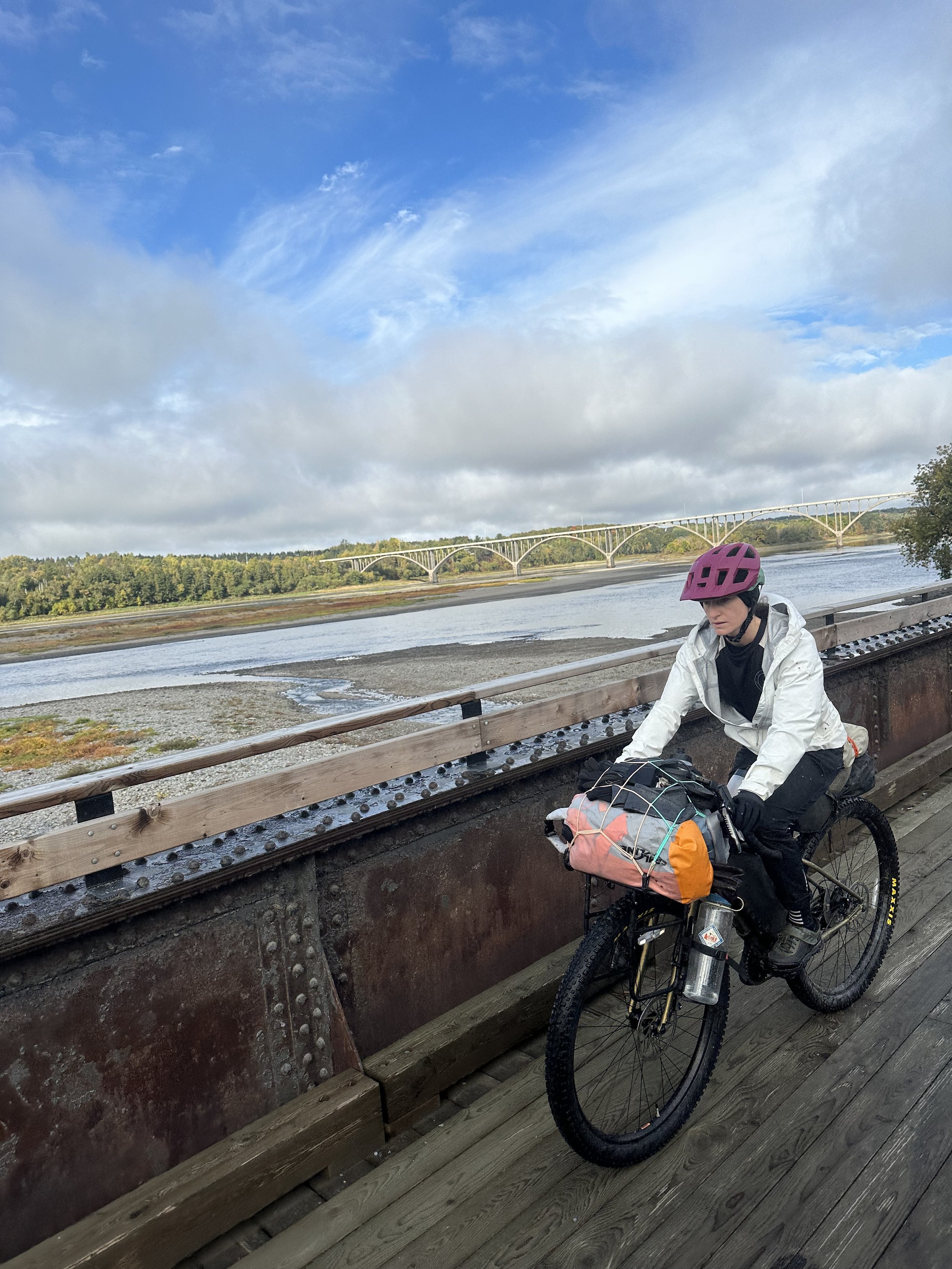
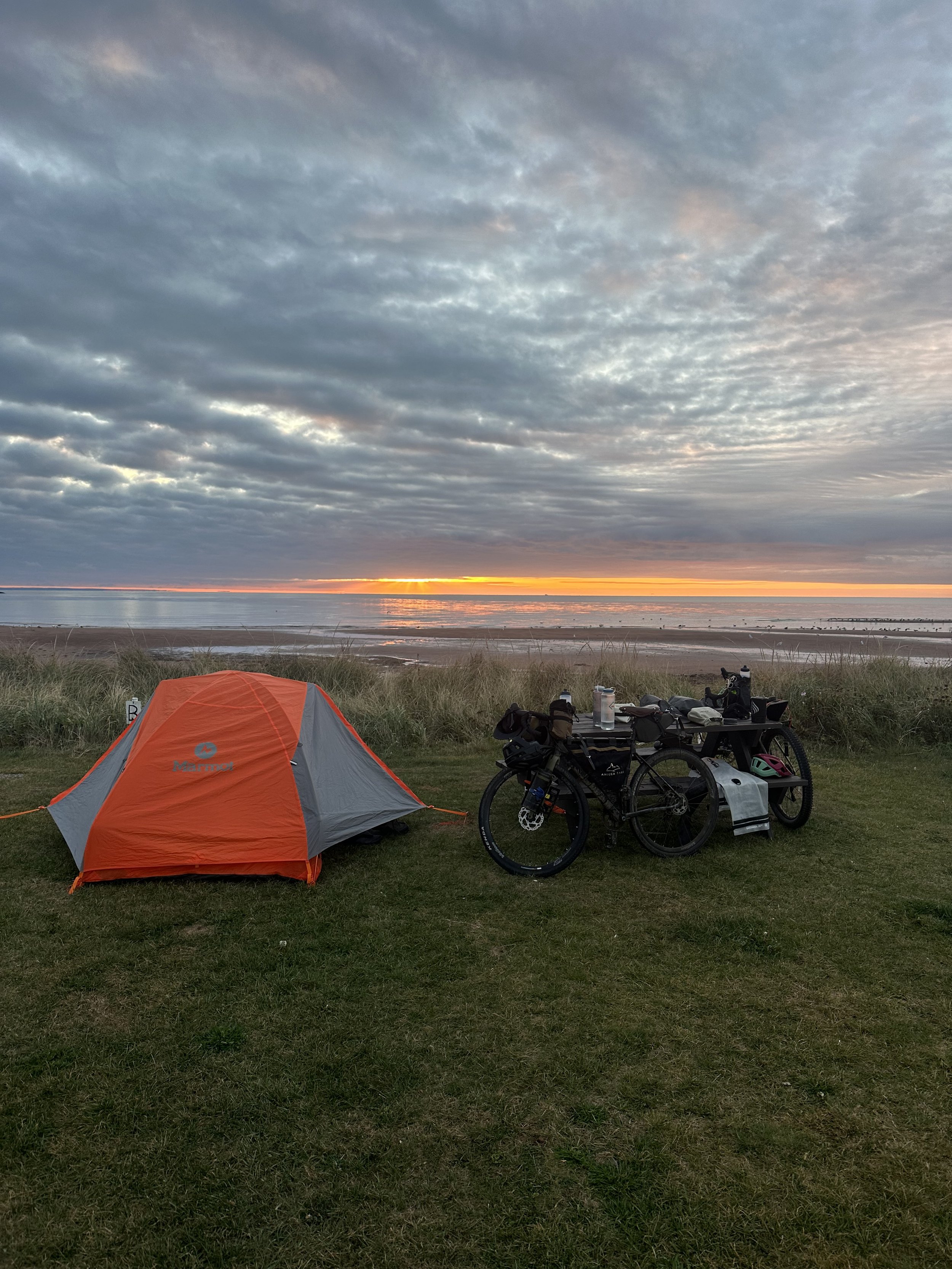
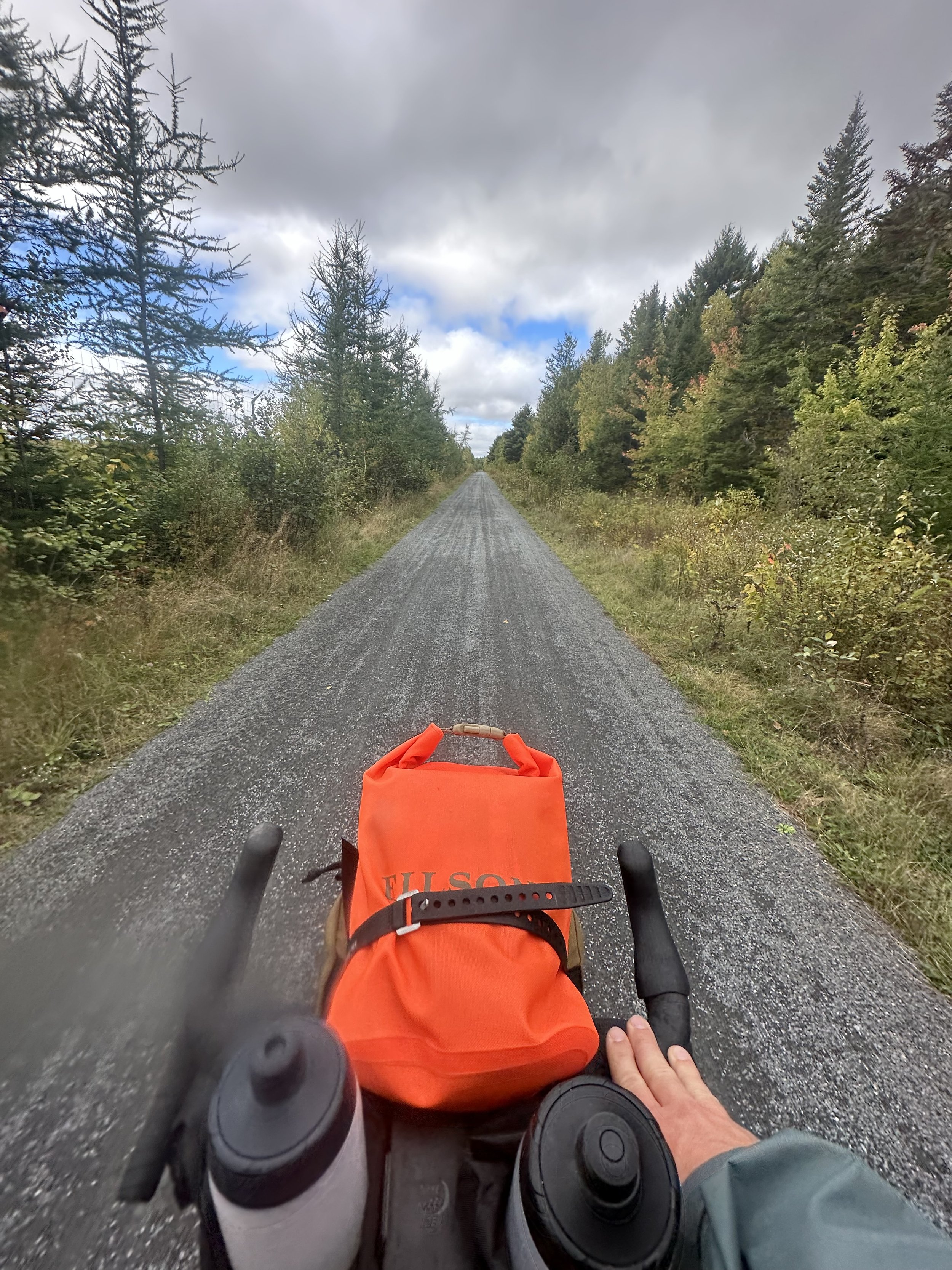
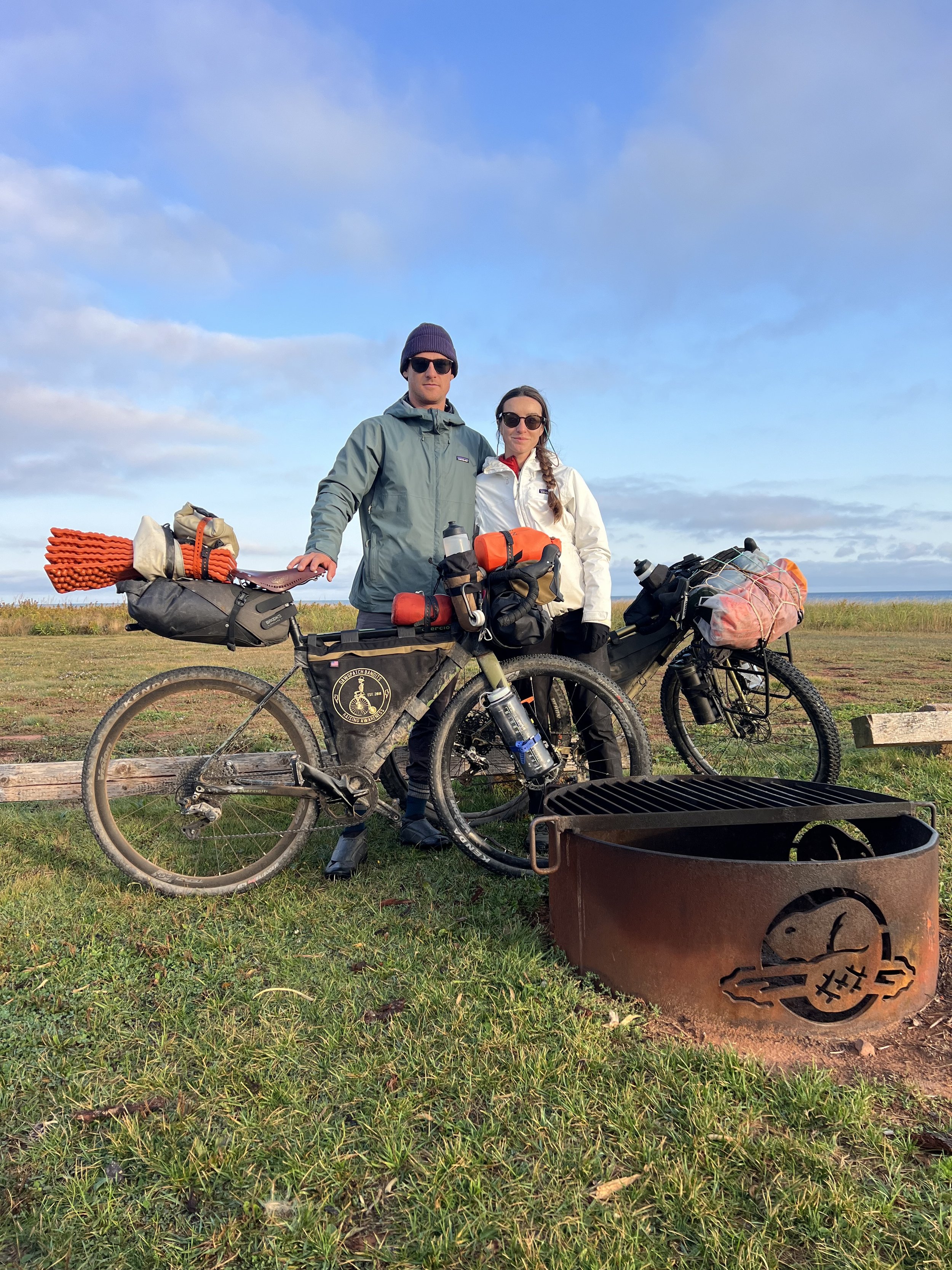
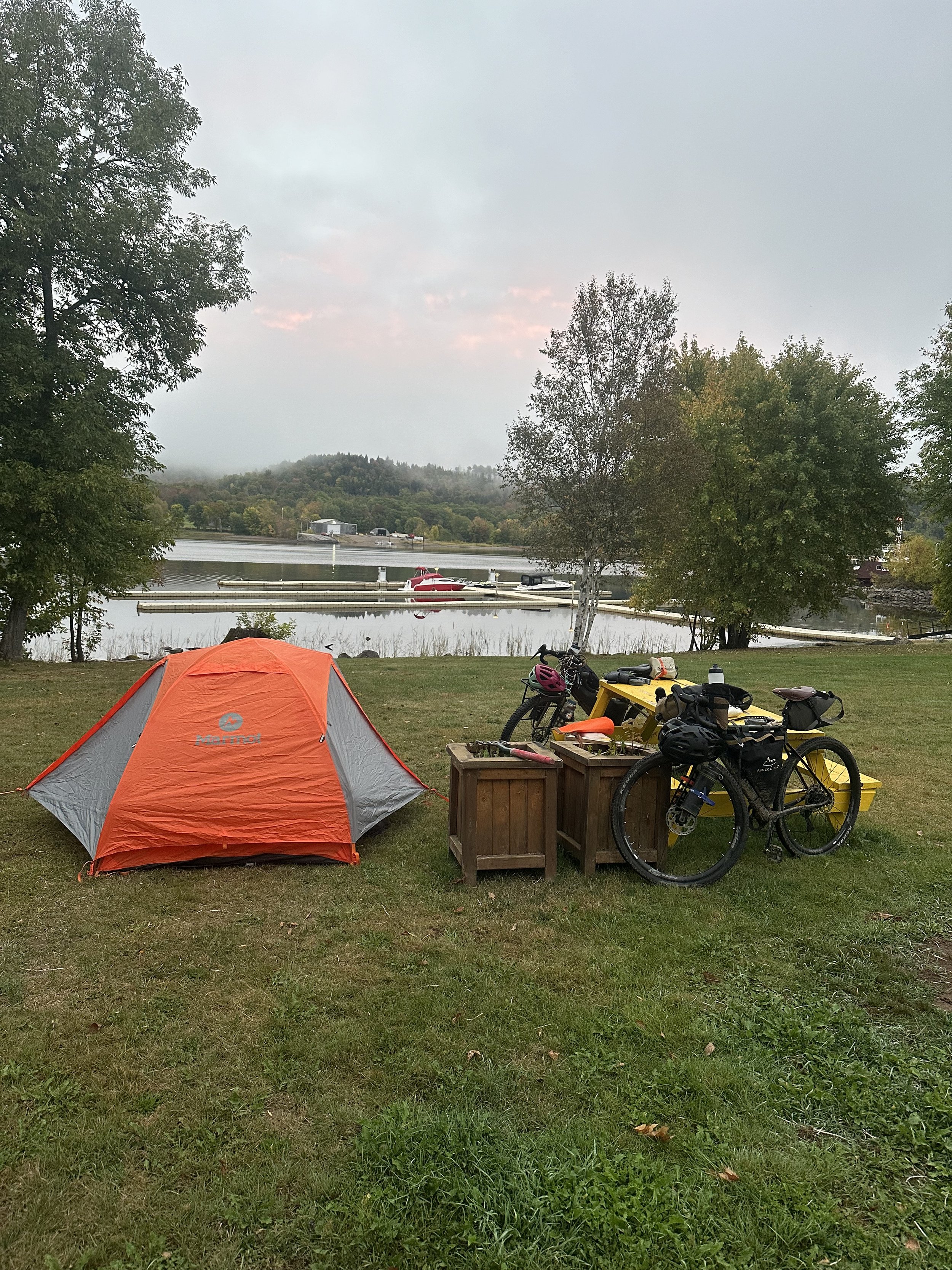
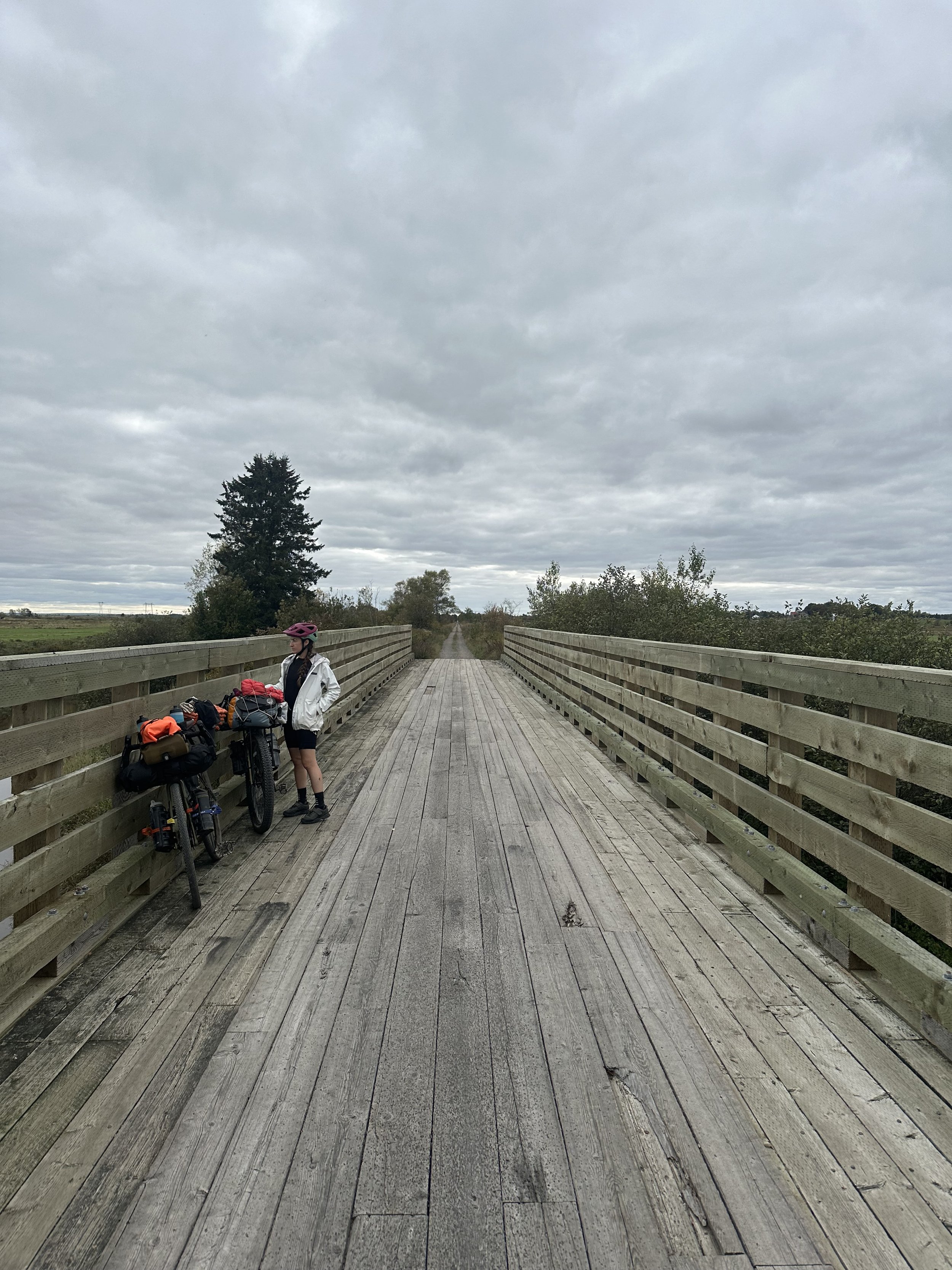
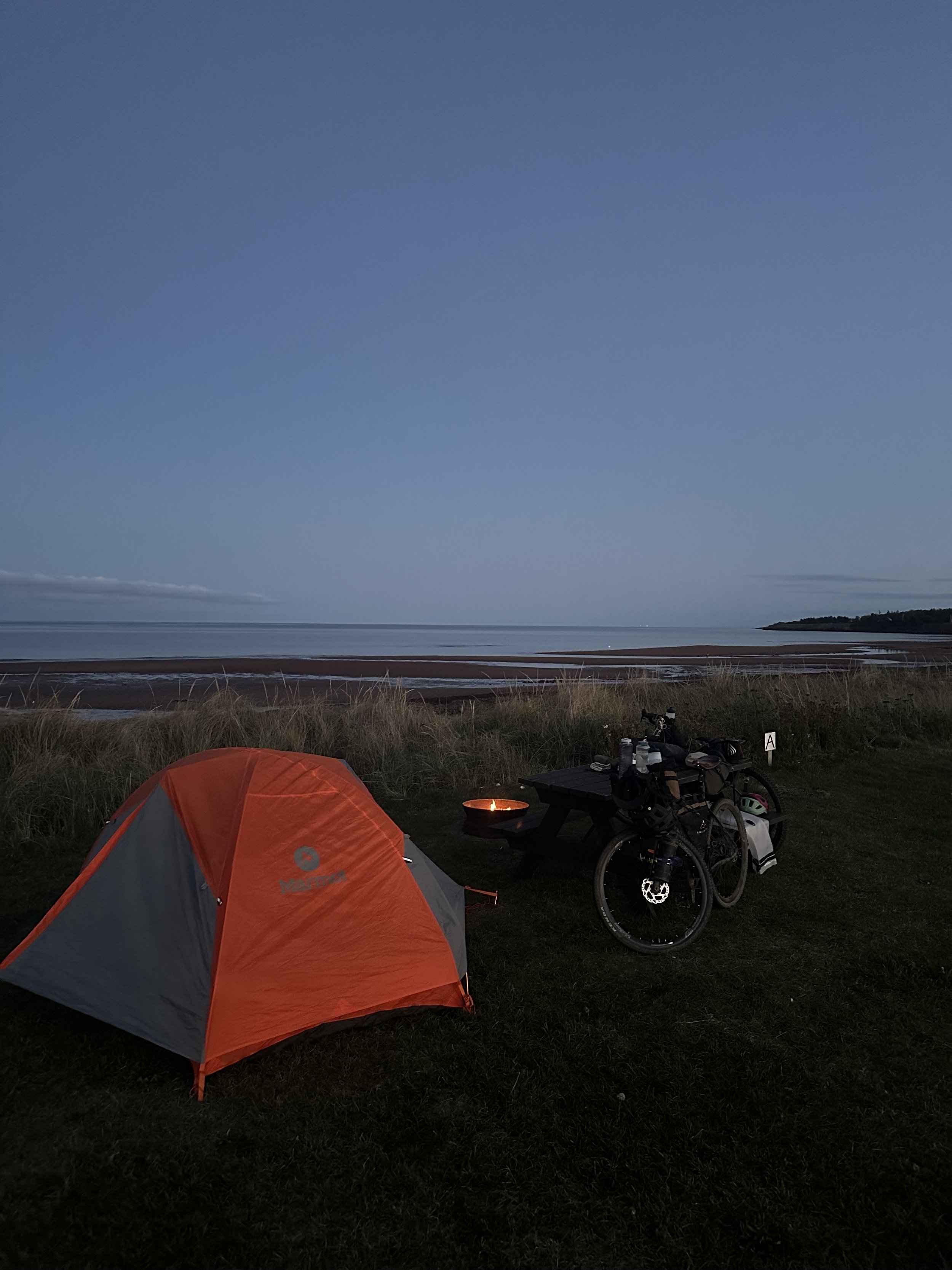
Notes: Finally got some relief on the railroad trail and turned some miles on fast rolling gravel across the farmlands outside of Moncton. It was proper low country riding as we made our way across the marshes via low bridges and piled up gravel trails. Followed the trail all the way out to Cape Tormentine that night, which is the eastern most point of New Brunswick. You can always feel when you are biking to the end of a land mass. There is something in the air. A starkness to the scenery. Beautiful and quiet. We tented up that night on the Strait of Northumberland overlooking the Old lighthouse. You could see Prince Edward Island sitting in the distance across the glassy water. We made a fire with some logs we found floating around our camp site and got the Jet boil going.
Day 8) Cape Tormentine N.B to Cavendish Campground, P.E.I. (52 miles)
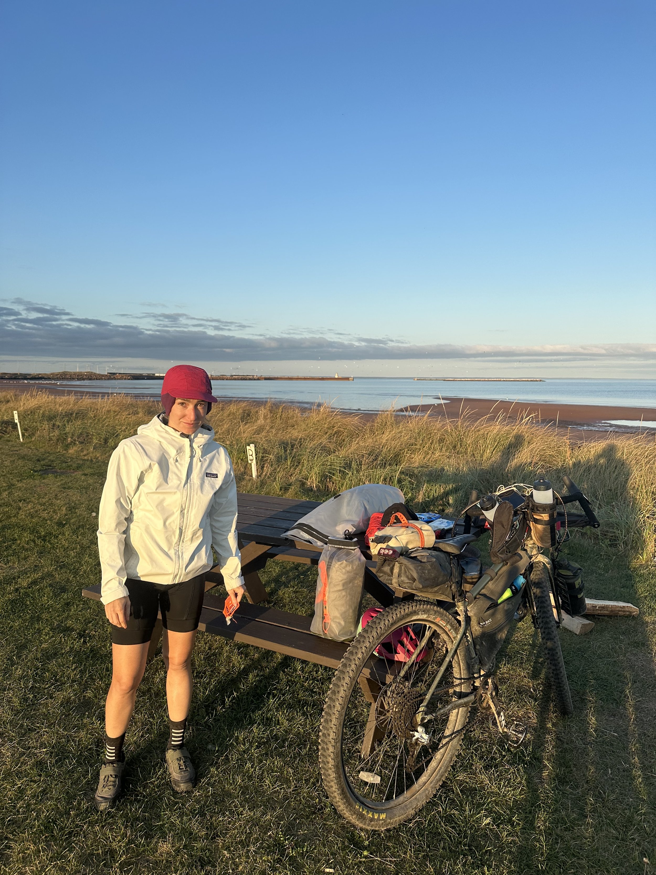
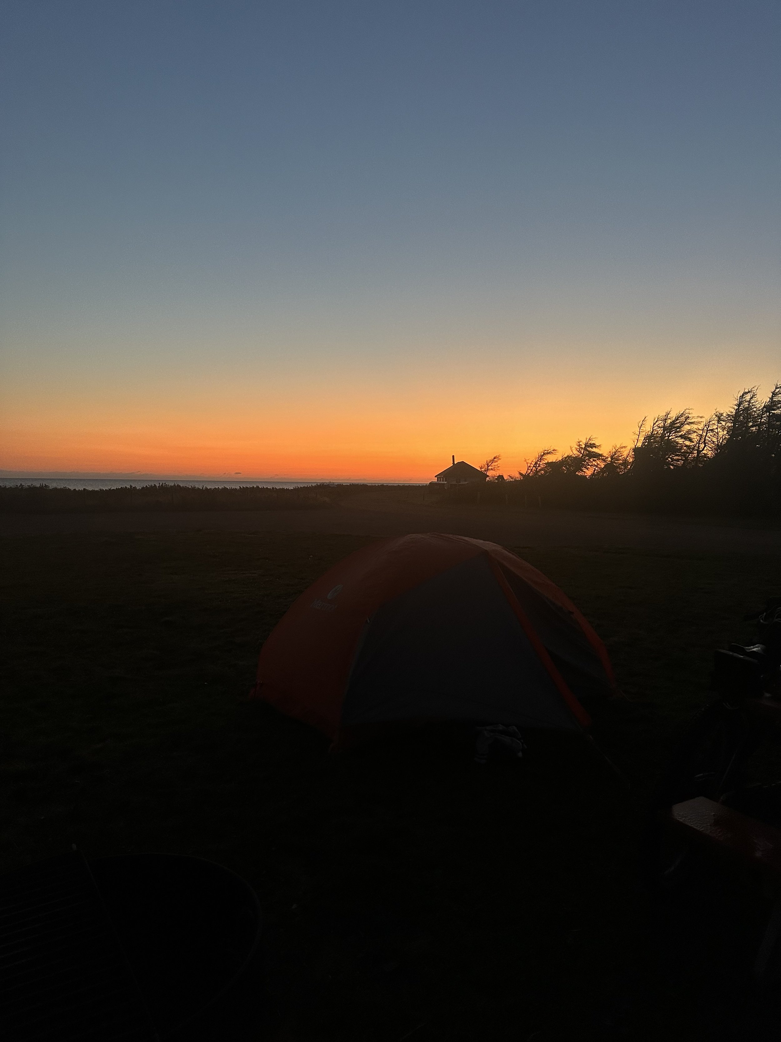
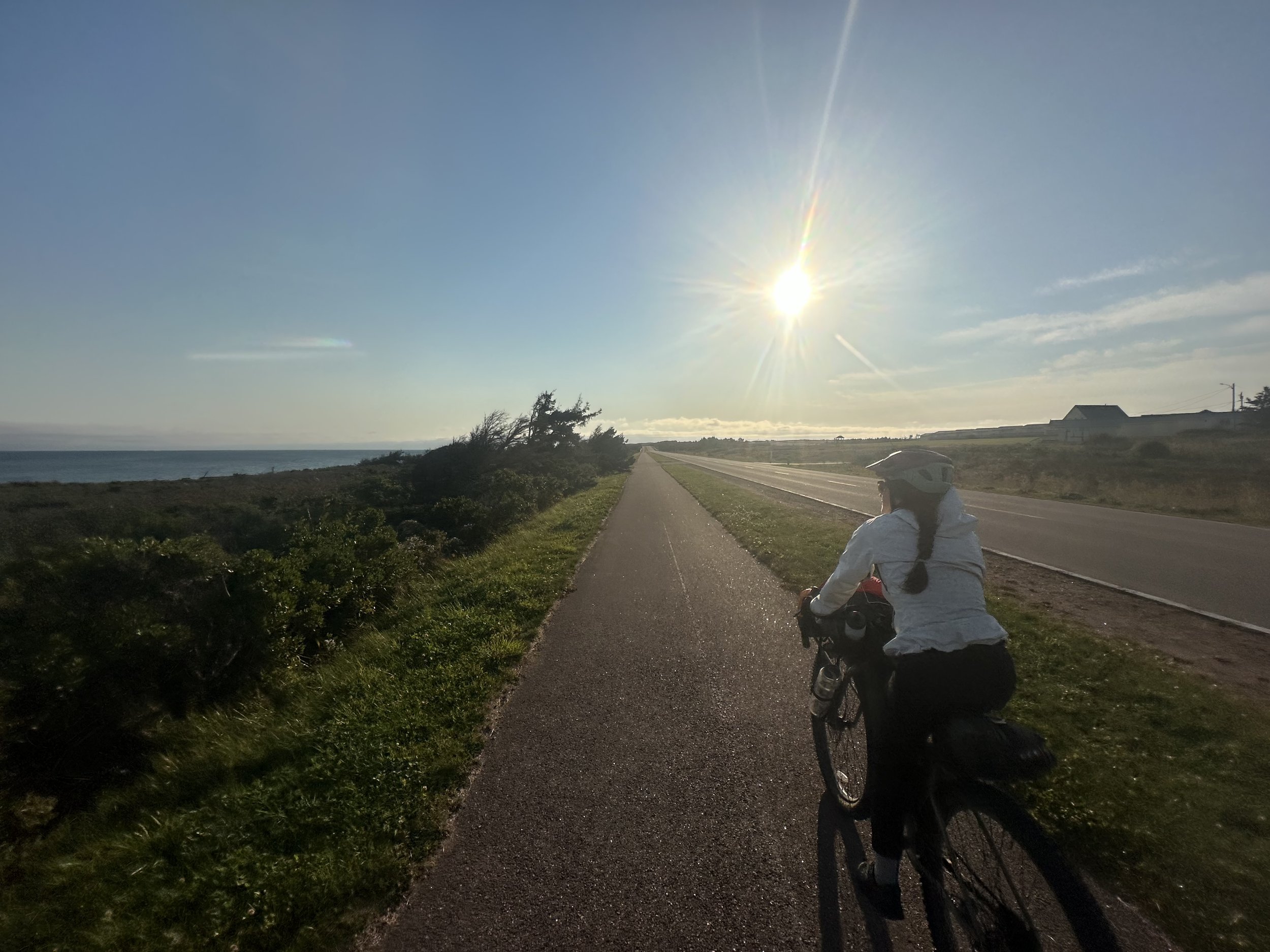
Notes: Woke up with the sunrise and fired up a couple morning coffees. Got turning miles on the railroad trail that continued to the PEI bridge. We crossed pristine seaside farmland and made our way to the bridge. Got to the bridge, “No Bicycles Allowed.” Turns out we had to toggle back to a shuttle pick up site (which is an empty parking lot with a payphone that auto dials to the highway dept.) and got a ride over the bridge. Once we were let out on the other side we loaded back up the bike and turned some clean miles on PEI. The Confederation Trail is well maintained and made for biking. We made our way from South to North across the Island that day and hit a campsite tent pitch on Gulf of Saint Lawrence to finish the journey. Turns out the North Coast of Prince Edward Island completely shuts down after October 1st so we were the only ones around. The air was brisk, the sun setting and we had the national park all to ourselves.
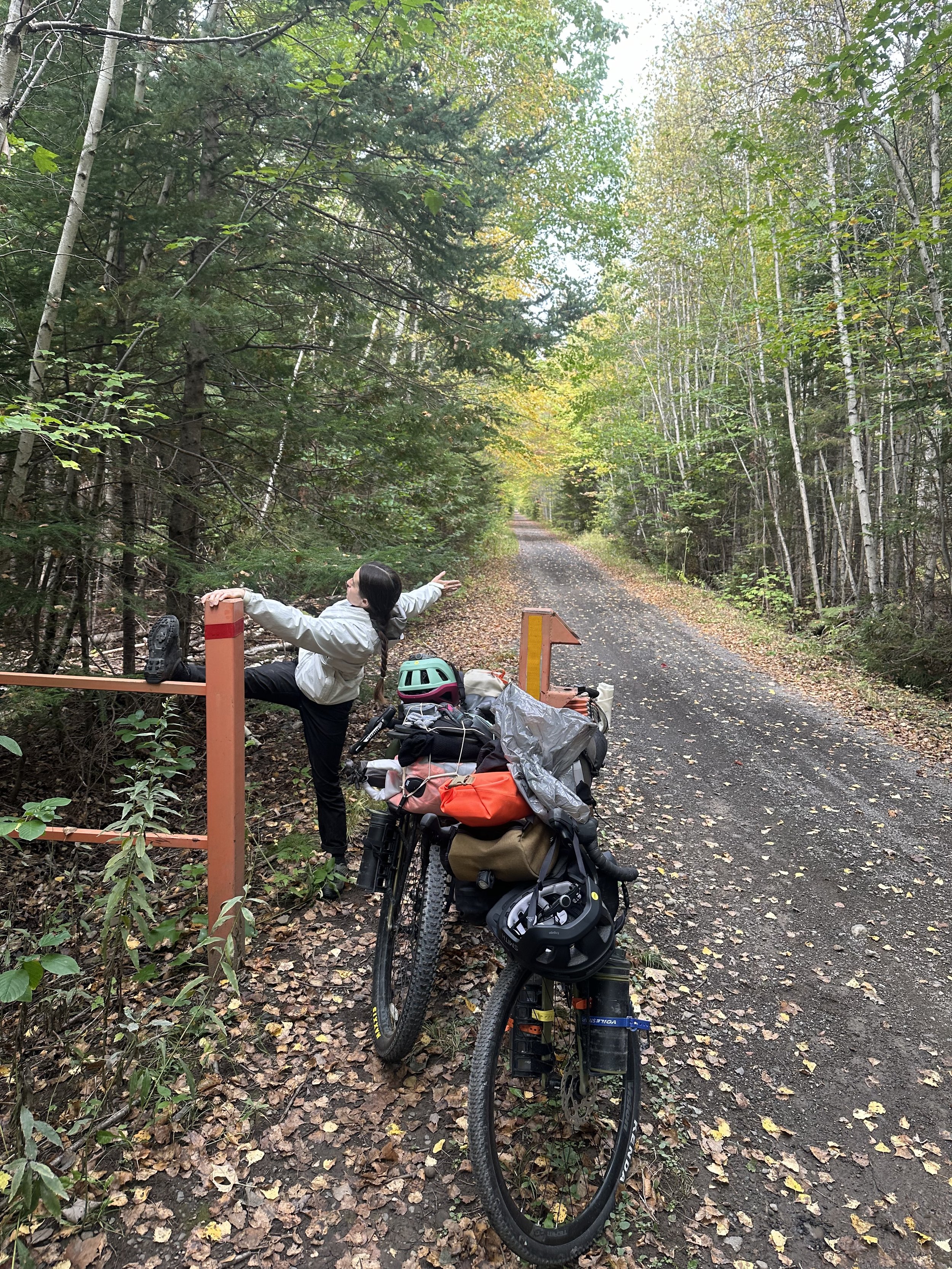
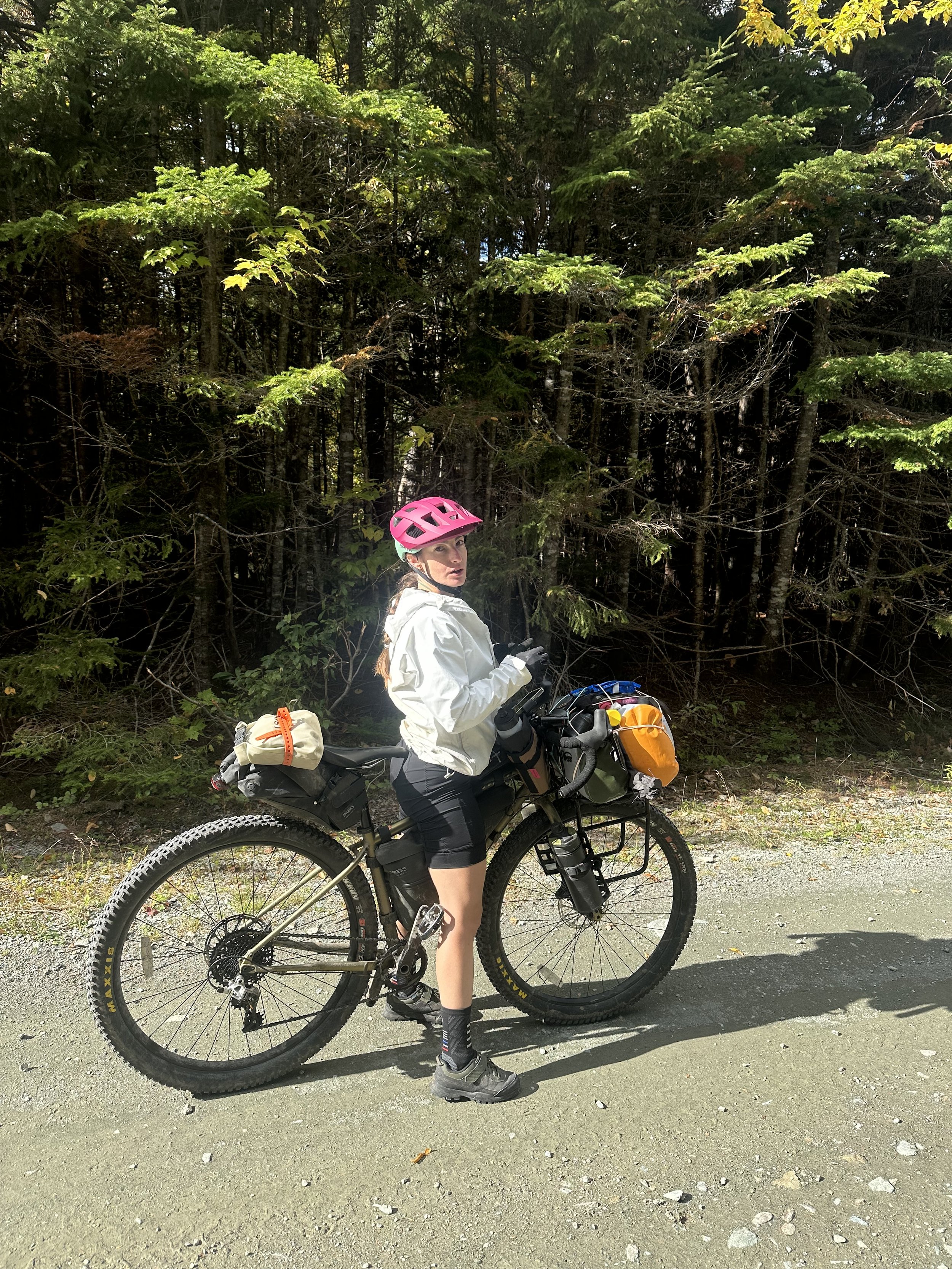
THE RIGS
